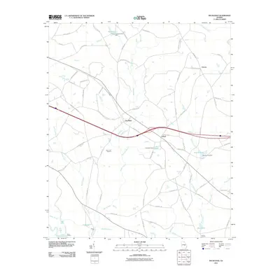
2011 Map of Rockledge
USGS Topo · Published 2011About this map
The Oconee River defines the southwestern corner of this coastal plain landscape, where its winding course creates a network of backwaters including Jack Lake, Jam Lake, and Cross Slough. This fluvial environment is marked by historic points of access like Stave Landing and Mercer Ford, reflecting an era when river navigation and local crossings were central to rural life. Further inland, the settlements of Rockledge, Orland, and Orianna anchor a community connected by a grid of county roads named for local families such as Henry Thigpen Rd and Leon Joiner Rd. For genealogists, the map preserves the locations of Mount Zion Cemetery and Fowlers Cemetery, while the presence of several managed water bodies like Lake Helen and Peterson Pond indicates the significance of small-scale dams and ponds to the local hydrology and agriculture.
Find a feature on this map
78 named features on this map. Tap any name to fly to it.
Don’t see what you’re looking for? This feature index may not catch every label — zoom into the map to look around manually.
Map Details
Editions of this 2011 Rockledge Map
This is the sole edition of this map. No revisions or reprints were ever made.
Other maps of this area

1957 · Macon
USGS Topo · 1:250,000

1958 · Macon
USGS Topo · 1:250,000

1964 · Macon
USGS Topo · 1:250,000

1971 · Soperton South
USGS Topo · 1:24,000

1971 · Soperton North
USGS Topo · 1:24,000

1971 · Lothair
USGS Topo · 1:24,000

1971 · Rockledge
USGS Topo · 1:24,000

1974 · Lowery
USGS Topo · 1:24,000

1974 · East Dublin
USGS Topo · 1:24,000

1974 · Scott
USGS Topo · 1:24,000