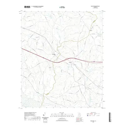
2020 Map of Rockledge
USGS Topo · Published 2020About this map
Rockledge and the surrounding pine-bordered lands of Treutlen and Laurens Counties are defined by a complex drainage network flowing toward the Oconee River at the southwestern corner of this survey. This modern mapping shows the intersection of local routes like Tommy Wood Rd and Rockledge Blue Springs Rd, which connect small communities such as Orland and Orianna. The landscape is dotted with numerous water features including Lake Helen, Graham Ponds, and Peterson Pond, reflecting the low-lying, hydrologically active nature of the region.
Find a feature on this map
90 named features on this map. Tap any name to fly to it.
Don’t see what you’re looking for? This feature index may not catch every label — zoom into the map to look around manually.
Map Details
Editions of this 2020 Rockledge Map
This is the sole edition of this map. No revisions or reprints were ever made.
Other maps of this area

1957 · Macon
USGS Topo · 1:250,000

1958 · Macon
USGS Topo · 1:250,000

1964 · Macon
USGS Topo · 1:250,000

1971 · Soperton South
USGS Topo · 1:24,000

1971 · Soperton North
USGS Topo · 1:24,000

1971 · Lothair
USGS Topo · 1:24,000

1971 · Rockledge
USGS Topo · 1:24,000

1974 · Lowery
USGS Topo · 1:24,000

1974 · East Dublin
USGS Topo · 1:24,000

1974 · Scott
USGS Topo · 1:24,000