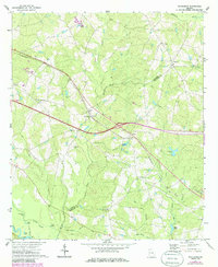
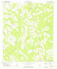
1971 Map of Rockledge
USGS Topo · Published 1986About this map
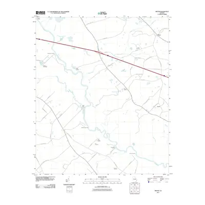
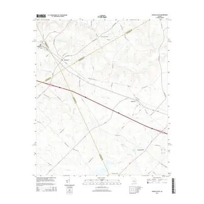
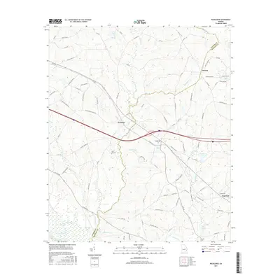
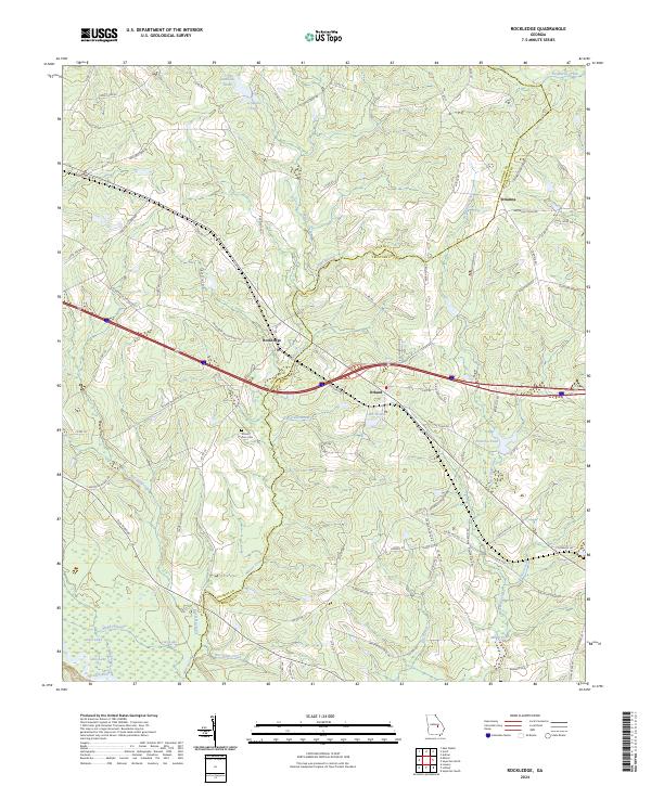
Rockledge and the surrounding agricultural lands of the Laurens Co Treutlen Co line are defined by a network of creeks and small family settlements. The landscape transitions from the higher ground near Orianna down toward the Oconee River in the southwest, where river-bottom features like Muddy Slough and Steve Landing appear. Transportation in the early 1970s was anchored by the Seaboard Coast Line railroad, which cuts a straight path through the heart of the territory, connecting Orland with the neighboring communities. Local social and spiritual life is anchored by landmarks such as Norris Chapel, Red Bluff Ch, and the Mt Zion Cem. Significant water features, including Lake Helen and Peterson Pond, suggest the importance of local land management and water access in this rural Georgia corridor during the late twentieth century.
Find a feature on this map
34 named features on this map. Tap any name to fly to it.
Don’t see what you’re looking for? This feature index may not catch every label — zoom into the map to look around manually.
Map Details
Editions of this 1971 Rockledge Map
2 editions found
Historical Maps of Soperton Through Time
48 maps found
1971 Rockledge
Laurens County, GA
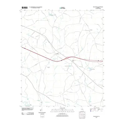
1972 Mc Rae NW
Laurens County, GA
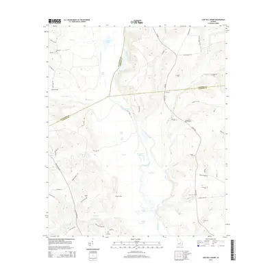
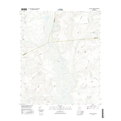
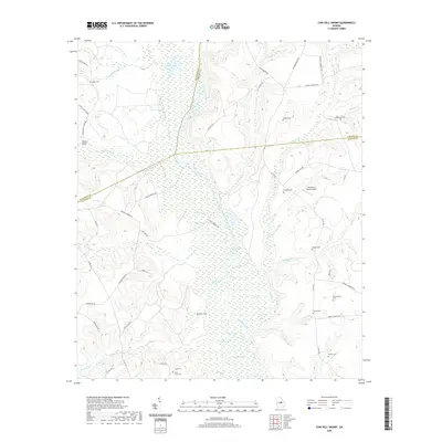
1974 Cow Hell Swamp
Laurens County, GA

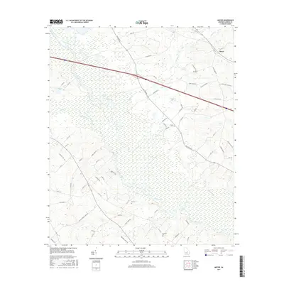
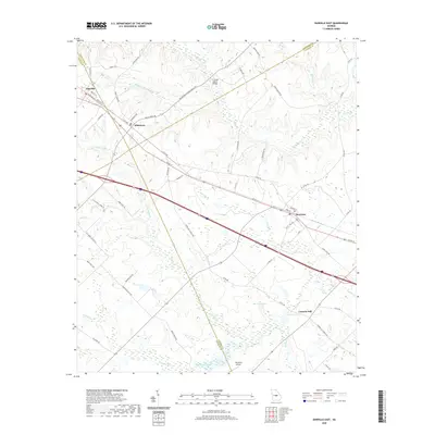
1974 Danville East
Laurens County, GA
1974 Five Points
Laurens County, GA
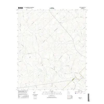
1974 Lowery
Laurens County, GA
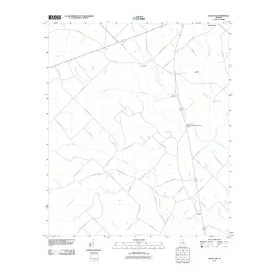
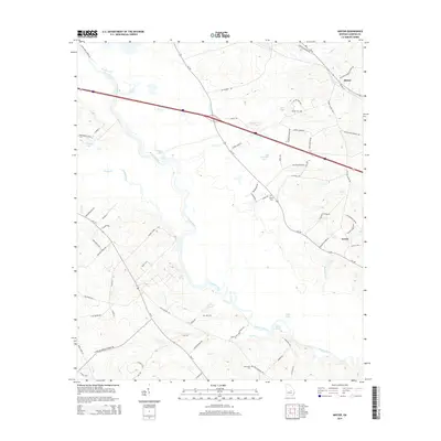
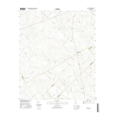
1974 Minter
Laurens County, GA
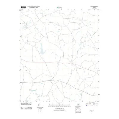
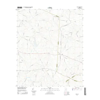
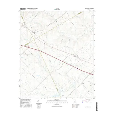
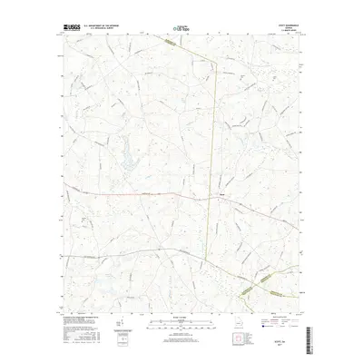
1974 Scott
Laurens County, GA
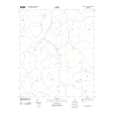
2011 Cow Hell Swamp
Laurens County, GA
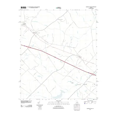
2011 Danville East
Laurens County, GA

2011 Five Points
Laurens County, GA
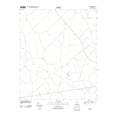
2011 Lowery
Laurens County, GA
2011 McRae NW
Laurens County, GA
2011 Minter
Laurens County, GA
2011 Rockledge
Laurens County, GA
2011 Scott
Laurens County, GA
2014 Cow Hell Swamp
Laurens County, GA
2014 Danville East
Laurens County, GA
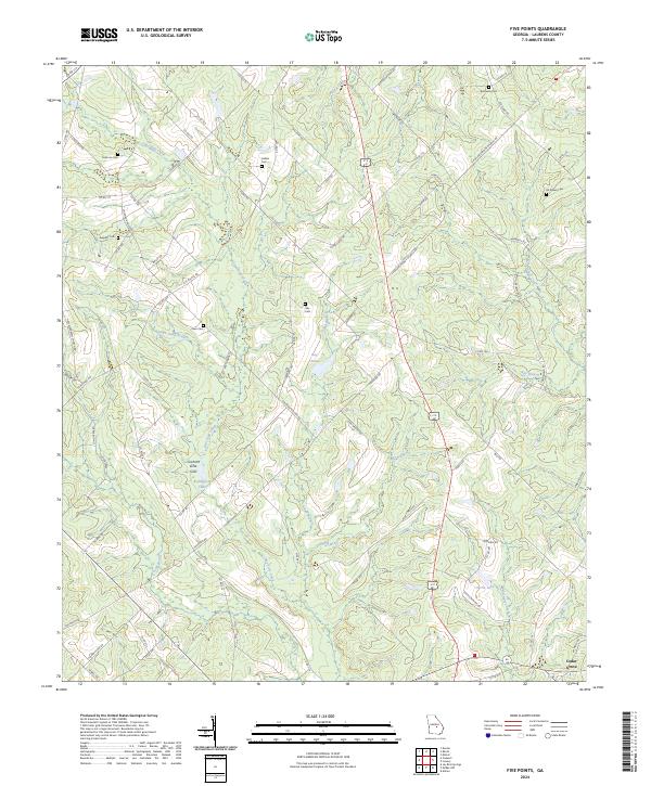
2014 Five Points
Laurens County, GA
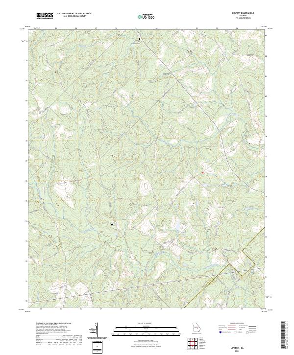
2014 Lowery
Laurens County, GA
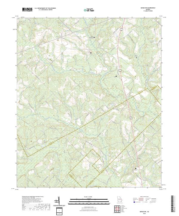
2014 McRae NW
Laurens County, GA
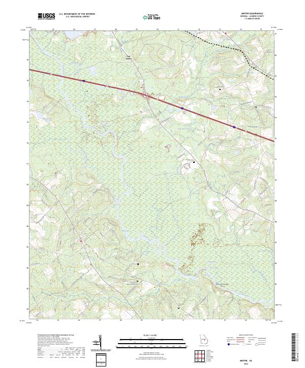
2014 Minter
Laurens County, GA
2014 Rockledge
Laurens County, GA
2014 Scott
Laurens County, GA
2017 Cow Hell Swamp
Laurens County, GA
2017 Danville East
Laurens County, GA

2017 Five Points
Laurens County, GA
2017 Lowery
Laurens County, GA
2017 McRae NW
Laurens County, GA
2017 Minter
Laurens County, GA
2017 Rockledge
Laurens County, GA
2017 Scott
Laurens County, GA
2020 Cow Hell Swamp
Laurens County, GA
2020 Danville East
Laurens County, GA
2020 Five Points
Laurens County, GA
2020 Lowery
Laurens County, GA
2020 McRae NW
Laurens County, GA
2020 Minter
Laurens County, GA
2020 Rockledge
Laurens County, GA
2020 Scott
Laurens County, GA
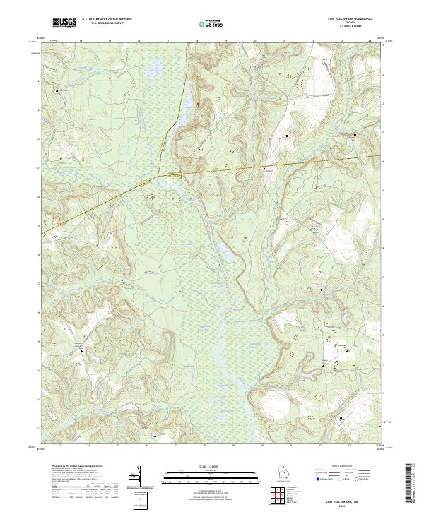
2024 Cow Hell Swamp
Laurens County, GA
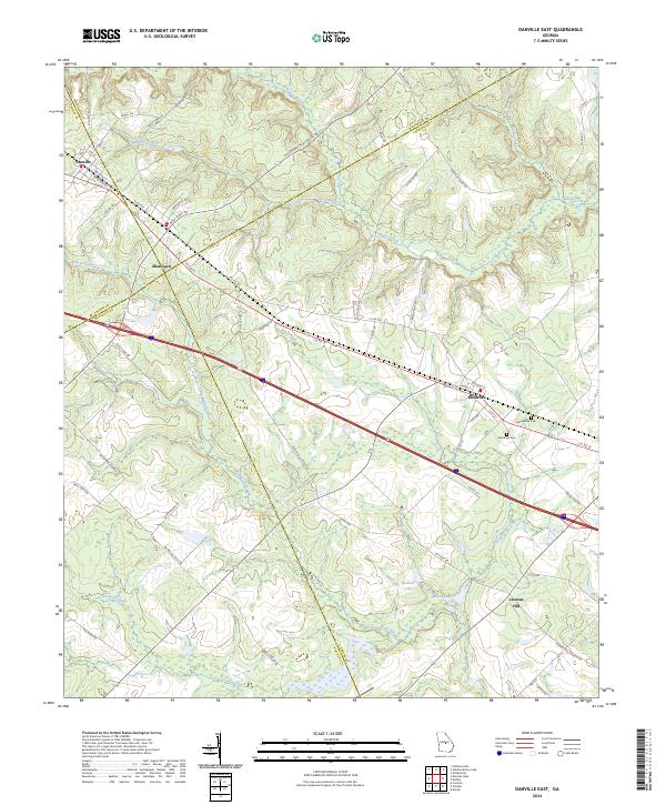
2024 Danville East
Laurens County, GA
2024 Five Points
Laurens County, GA
2024 Lowery
Laurens County, GA
2024 McRae NW
Laurens County, GA
2024 Minter
Laurens County, GA
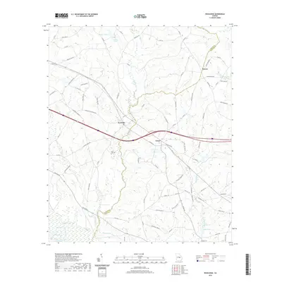
2024 Rockledge
Laurens County, GA
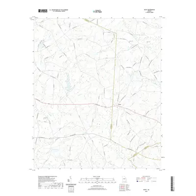
2024 Scott
Laurens County, GA