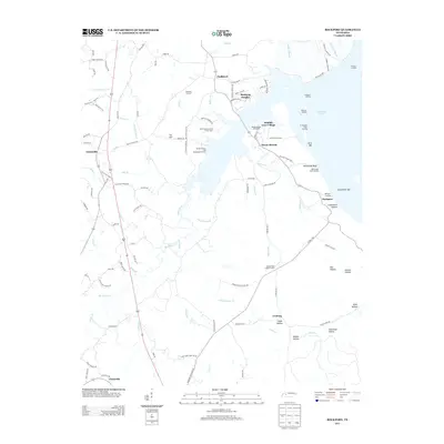
2013 Map of Rockport
USGS Topo · Published 2013About this map
Kentucky Lake dominates the eastern edge of this landscape, where the waters of the Tennessee River meet a shoreline marked by numerous landings and bars. Small settlements like Chalklevel, Mount Moriah, and Rockport are scattered throughout the interior, connected by a network of rural routes including the Old Natchez Trace Trl. The map highlights a community-focused geography, featuring the West Tennessee Boy Scout Camp, the Birdsong Drive-In, and the Birdsong Dock and Resort.
Find a feature on this map
114 named features on this map. Tap any name to fly to it.
Don’t see what you’re looking for? This feature index may not catch every label — zoom into the map to look around manually.
Map Details
Editions of this 2013 Rockport Map
This is the sole edition of this map. No revisions or reprints were ever made.
Other maps of this area
1936 · Camden
USGS Topo · 1:24,000
1936 · Seventeen Creek
USGS Topo · 1:24,000
1936 · Daniels Landing
USGS Topo · 1:24,000
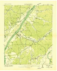
1936 · Johnsonville
USGS Topo · 1:24,000
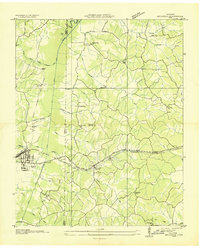
1936 · Bruceton
USGS Topo · 1:24,000
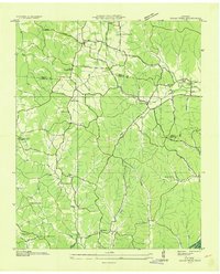
1936 · Sugar Tree
USGS Topo · 1:24,000
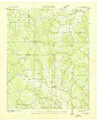
1936 · Cavvia
USGS Topo · 1:24,000
1936 · Rockport
USGS Topo · 1:24,000
1936 · Hustburg
USGS Topo · 1:24,000
1949 · Daniels Landing
USGS Topo · 1:24,000
Featured Places
- Camden, TN
- New Johnsonville, TN
- Birdsong Creek Subdivision, TN
- Wildlife Cove Village, TN
- Birdsong Heights, TN