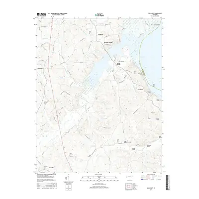
2016 Map of Rockport
USGS Topo · Published 2016About this map
The Kentucky Lake shoreline defines the eastern edge of this landscape, where the wide waters of the Tennessee River meet the rolling terrain of Benton County. A dense network of family and community burial grounds, including Ford Cem, Shiloh Cem, and the remote Baker Cem, reflects generations of settlement across the ridges and hollows. Small communities like Chalklevel, Mount Moriah, and Coxburg are linked by winding roads that often follow the natural contours of the land, such as Hauk Hatley Br and Birdsong Creek.
Find a feature on this map
103 named features on this map. Tap any name to fly to it.
Don’t see what you’re looking for? This feature index may not catch every label — zoom into the map to look around manually.
Map Details
Editions of this 2016 Rockport Map
This is the sole edition of this map. No revisions or reprints were ever made.
Other maps of this area

1936 · Camden
USGS Topo · 1:24,000

1936 · Seventeen Creek
USGS Topo · 1:24,000

1936 · Daniels Landing
USGS Topo · 1:24,000

1936 · Johnsonville
USGS Topo · 1:24,000

1936 · Bruceton
USGS Topo · 1:24,000

1936 · Sugar Tree
USGS Topo · 1:24,000

1936 · Cavvia
USGS Topo · 1:24,000

1936 · Rockport
USGS Topo · 1:24,000

1936 · Hustburg
USGS Topo · 1:24,000

1949 · Daniels Landing
USGS Topo · 1:24,000
Featured Places
- Camden, TN
- New Johnsonville, TN
- Birdsong Creek Subdivision, TN
- Wildlife Cove Village, TN
- Birdsong Heights, TN