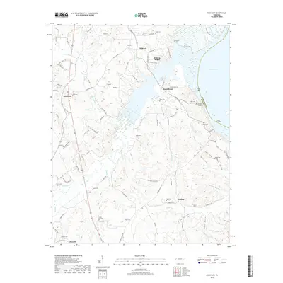
2019 Map of Rockport
USGS Topo · Published 2019About this map
Kentucky Lake and the Tennessee River dominate the eastern landscape of this Tennessee River valley terrain, where the historic border between Benton Co and Humphreys Co is marked by submerged features like Suck Bar and Duck River Bar. The map illustrates a dense network of family history markers, particularly the numerous small cemeteries including Ford Cem, Wyly Cem, and Tippitt Cem that dot the ridges and hollows. Small communities like Chalklevel and Gismonda serve as local hubs for the surrounding farmsteads.
Find a feature on this map
114 named features on this map. Tap any name to fly to it.
Don’t see what you’re looking for? This feature index may not catch every label — zoom into the map to look around manually.
Map Details
Editions of this 2019 Rockport Map
This is the sole edition of this map. No revisions or reprints were ever made.
Other maps of this area

1936 · Camden
USGS Topo · 1:24,000

1936 · Seventeen Creek
USGS Topo · 1:24,000

1936 · Daniels Landing
USGS Topo · 1:24,000

1936 · Johnsonville
USGS Topo · 1:24,000

1936 · Bruceton
USGS Topo · 1:24,000

1936 · Sugar Tree
USGS Topo · 1:24,000

1936 · Cavvia
USGS Topo · 1:24,000

1936 · Rockport
USGS Topo · 1:24,000

1936 · Hustburg
USGS Topo · 1:24,000

1949 · Daniels Landing
USGS Topo · 1:24,000
Featured Places
- Camden, TN
- New Johnsonville, TN
- Birdsong Creek Subdivision, TN
- Wildlife Cove Village, TN
- Birdsong Heights, TN