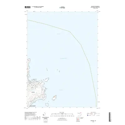
2021 Map of Rockport
USGS Topo · Published 2021About this map
Rockport sits at the northeastern tip of Cape Ann, its street grid tightly clustered between the rocky coastline and the inland heights. This 2021 topography emphasizes the relationship between the historic settlement and the Atlantic Ocean, showing the distinct peninsula of Bearskin Neck and the small sheltered waters near the town center. Genealogists will find three significant burial grounds documented here: Old Parish Cem, Union Cem, and Beech Grove Cem, all situated along the primary corridors leading away from the harbor. The landscape transitions from the dense residential and commercial blocks near Main St to the more open residential areas along Marmion Way and Eden Rd. Inland, the terrain is characterized by features such as Rum Rock Lake and the drainage of Sawmill Brook, while the southeastern coast is marked by the distinct protrusion of Camborne Point overlooking the waters of Bigelow Bight.
Find a feature on this map
32 named features on this map. Tap any name to fly to it.
Don’t see what you’re looking for? This feature index may not catch every label — zoom into the map to look around manually.
Map Details
Editions of this 2021 Rockport Map
This is the sole edition of this map. No revisions or reprints were ever made.
Other maps of this area

1886 · Gloucester
USGS Topo · 1:62,500

1888 · Gloucester
USGS Topo · 1:62,500

1893 · Gloucester
USGS Topo · 1:62,500

1918 · Gloucester
USGS Topo · 1:62,500

1943 · Cape Ann
USGS Topo · 1:125,000
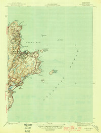
1945 · Rockport
USGS Topo · 1:31,680
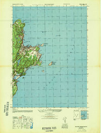
1947 · Rockport
USGS Topo · 1:25,000

1948 · Boston
USGS Topo · 1:250,000
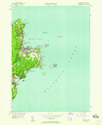
1949 · Rockport
USGS Topo · 1:24,000

1956 · Boston
USGS Topo · 1:250,000