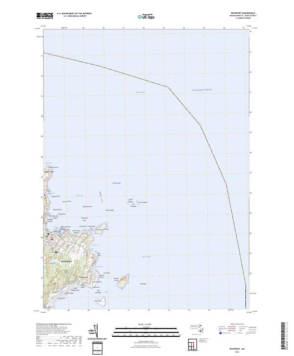
2024 Map of Rockport
USGS Topo · Published 2024About this map
Cape Ann's jagged eastern coastline defines the maritime character of this area, centered on the village of Rockport. The map details the transition from the densely settled streets near Bearskin Neck to the rocky outcroppings and islands that have long challenged local mariners. Prominent landmarks such as Thacher Island, protected within the Thacher Island National Wildlife Refuge, and the nearby Londoner and Milk Island shoals illustrate the maritime hazards and natural preserves of the Atlantic Ocean coast.
Find a feature on this map
78 named features on this map. Tap any name to fly to it.
Don’t see what you’re looking for? This feature index may not catch every label — zoom into the map to look around manually.
Map Details
Editions of this 2024 Rockport Map
This is the sole edition of this map. No revisions or reprints were ever made.
Other maps of this area

1886 · Gloucester
USGS Topo · 1:62,500

1888 · Gloucester
USGS Topo · 1:62,500

1893 · Gloucester
USGS Topo · 1:62,500

1918 · Gloucester
USGS Topo · 1:62,500

1943 · Cape Ann
USGS Topo · 1:125,000
1945 · Rockport
USGS Topo · 1:31,680
1947 · Rockport
USGS Topo · 1:25,000

1948 · Boston
USGS Topo · 1:250,000
1949 · Rockport
USGS Topo · 1:24,000

1956 · Boston
USGS Topo · 1:250,000