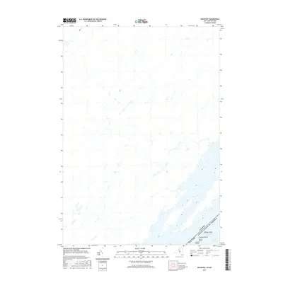
2016 Map of Rockport
USGS Topo · Published 2016About this map
The Saint Lawrence River serves as the dominant geographical and political centerpiece of this 2016 survey, where the international boundary between Canada and the United States of America cuts through the heart of the Thousand Islands. This specific reach of the river highlights a complex archipelago, including Whiskey Island, Sylvan Island, and Arcadia Island. The mapping of these river features reflects the modern hydrologic character of the borderlands, where the deep channel of the Saint Lawrence River meets the more secluded waters of the Lake of the Isles. While contemporary in its production, the map meticulously records the intricate shoreline and island configurations that have defined the maritime transit and summer residency of this river corridor for generations.
Find a feature on this map
3 named features on this map. Tap any name to fly to it.
Don’t see what you’re looking for? This feature index may not catch every label — zoom into the map to look around manually.
Map Details
Editions of this 2016 Rockport Map
This is the sole edition of this map. No revisions or reprints were ever made.
Other maps of this area

1903 · Grindstone
USGS Topo · 1:62,500

1903 · Alexandria Bay
USGS Topo · 1:62,500

1943 · Thousand Island Park
USGS Topo · 1:31,680

1943 · Redwood
USGS Topo · 1:31,680

1943 · Alexandria Bay
USGS Topo · 1:31,680

1948 · Chippewa Bay
USGS Topo · 1:24,000

1948 · Alexandria Bay
USGS Topo · 1:62,500

1948 · Ogdensburg
USGS Topo · 1:250,000

1951 · Ogdensburg
USGS Topo · 1:250,000

1953 · Ogdensburg
USGS Topo · 1:250,000