2023 Map of Rockport
USGS Topo · Published 2023About this map
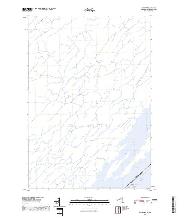
The Saint Lawrence River serves as the dominant geographic and political boundary in this borderland corridor of Jefferson County. Marking the international line between Canada and the United States of America, this 2023 survey focuses on the intricate island clusters and narrow channels that define the region's riverine character. The map details small landforms such as Whiskey Island, Sylvan Island, and Arcadia Island, reflecting the complex topography of the Thousand Islands archipelago. Most of the quadrangle's interior remains an open network of unnamed seasonal streams and drainage basins, illustrating the low-lying, water-saturated nature of the landscape as it transitions toward the Great Lakes system.
Find a feature on this map
5 named features on this map. Tap any name to fly to it.
Don’t see what you’re looking for? This feature index may not catch every label — zoom into the map to look around manually.
Map Details
Editions of this 2023 Rockport Map
This is the sole edition of this map. No revisions or reprints were ever made.
Other maps of this area

1903 · Grindstone
USGS Topo · 1:62,500

1903 · Alexandria Bay
USGS Topo · 1:62,500

1943 · Thousand Island Park
USGS Topo · 1:31,680

1943 · Redwood
USGS Topo · 1:31,680

1943 · Alexandria Bay
USGS Topo · 1:31,680

1948 · Chippewa Bay
USGS Topo · 1:24,000

1948 · Alexandria Bay
USGS Topo · 1:62,500

1948 · Ogdensburg
USGS Topo · 1:250,000

1951 · Ogdensburg
USGS Topo · 1:250,000

1953 · Ogdensburg
USGS Topo · 1:250,000