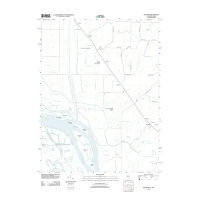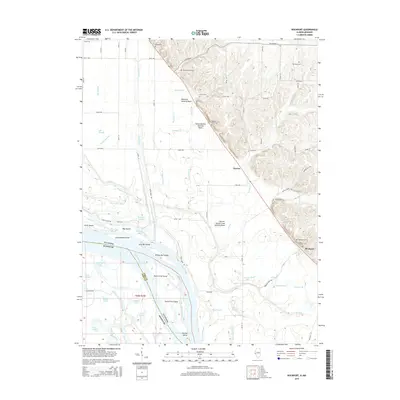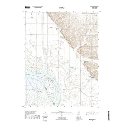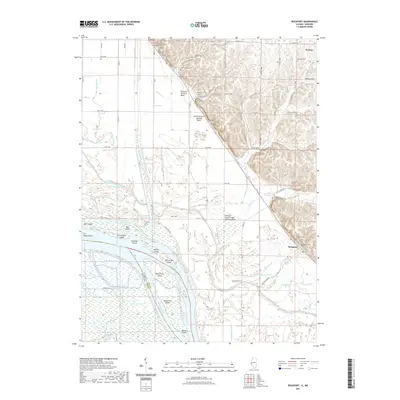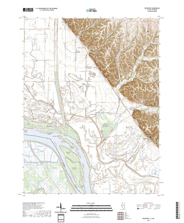
2024 Map of Rockport
USGS Topo · Published 2024About this map
The Mississippi River and the complex waterway of The Sny define this riverine landscape along the Illinois and Missouri border. The settlement of Rockport sits at the base of the bluffs, where the elevated terrain of Hoskins Hill meets the expansive bottomlands. This area is characterized by an intricate system of water management and land use, evidenced by the Brewster Settling Basin and Brown Branch Settling Basin, alongside numerous drainage ditches like West Gibson Ditch and Collins Pond Ditch.
Find a feature on this map
71 named features on this map. Tap any name to fly to it.
Don’t see what you’re looking for? This feature index may not catch every label — zoom into the map to look around manually.
Map Details
Editions of this 2024 Rockport Map
This is the sole edition of this map. No revisions or reprints were ever made.
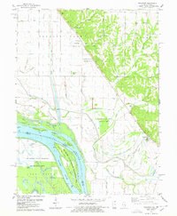
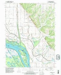
Historical Maps of El Dara Through Time
7 maps found