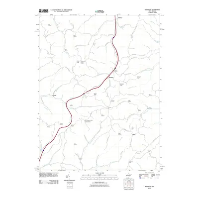
2010 Map of Rockport
USGS Topo · Published 2010About this map
Rockport and the surrounding Wood County countryside are defined by a network of ridges and winding creek valleys. This 2010 survey shows the area's rural character through its numerous family and community burial grounds, including the Smith Cemetery, Naylor Cemetery, and Prosperity Cemetery. The landscape is etched by the Tygart Creek and Pond Creek drainage systems, which dictate the path of local roads like Old US Hwy 21.
Find a feature on this map
92 named features on this map. Tap any name to fly to it.
Don’t see what you’re looking for? This feature index may not catch every label — zoom into the map to look around manually.
Map Details
Editions of this 2010 Rockport Map
This is the sole edition of this map. No revisions or reprints were ever made.
Other maps of this area

1906 · Elizabeth
USGS Topo · 1:62,500

1906 · Belleville
USGS Topo · 1:62,500

1907 · Spencer
USGS Topo · 1:62,500

1907 · Ripley
USGS Topo · 1:62,500

1924 · Belleville
USGS Topo · 1:62,500

1924 · Elizabeth
USGS Topo · 1:62,500

1926 · Elizabeth
USGS Topo · 1:62,500

1926 · Belleville
USGS Topo · 1:62,500

1926 · Ripley
USGS Topo · 1:62,500

1928 · Spencer
USGS Topo · 1:62,500