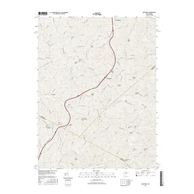
2016 Map of Rockport
USGS Topo · Published 2016About this map
Rockport sits at the intersection of a complex creek and ridge system where Wood, Wirt, and Jackson Counties meet. The landscape is defined by its deep connectivity to the land, evidenced by an exceptionally high density of family and community burial grounds, including the Wigal School Cem, Lowdell Cem, and Archer Cem. Higher elevations like Stephens Knob and Mount Moriah Hill rise above the drainage basins of Skull Run, Sandy Run, and Big Indian Run. Historically, these hollows and ridges dictated the placement of small rural communities like Lowdell and Saulsbury. The presence of institutions such as the Gates Ridge Evangelical United Brethren Church Cem and Central Church of Christ Cem suggests a long-standing network of scattered upland settlements that relied on the winding valley roads for communication and trade across the county lines.
Find a feature on this map
136 named features on this map. Tap any name to fly to it.
Don’t see what you’re looking for? This feature index may not catch every label — zoom into the map to look around manually.
Map Details
Editions of this 2016 Rockport Map
This is the sole edition of this map. No revisions or reprints were ever made.
Other maps of this area

1906 · Elizabeth
USGS Topo · 1:62,500

1906 · Belleville
USGS Topo · 1:62,500

1907 · Spencer
USGS Topo · 1:62,500

1907 · Ripley
USGS Topo · 1:62,500

1924 · Belleville
USGS Topo · 1:62,500

1924 · Elizabeth
USGS Topo · 1:62,500

1926 · Elizabeth
USGS Topo · 1:62,500

1926 · Belleville
USGS Topo · 1:62,500

1926 · Ripley
USGS Topo · 1:62,500

1928 · Spencer
USGS Topo · 1:62,500