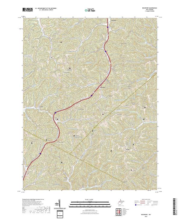
2023 Map of Rockport
USGS Topo · Published 2023About this map
Tygart Creek and Pond Creek define the drainage of this dissected upland where the borders of Wood, Jackson, and Wirt counties converge. The settlement of Rockport serves as a central point along the Southern Hwy, surrounded by a high density of small family and community burial grounds that speak to the deep genealogical roots of the region. These include the Amos Cem, Naylor Cem, and Smith Cem tucked into the northern ridges, while the Gates Ridge Evangelical United Brethren Church Cem stands as a significant landmark further south. The landscape is structured by a series of prominent rises such as Bogal Ridge, Dutch Ridge, and Morehead Ridge, which have historically dictated the placement of winding rural routes like Co Rte 21 and Lee Creek Rd.
Find a feature on this map
119 named features on this map. Tap any name to fly to it.
Don’t see what you’re looking for? This feature index may not catch every label — zoom into the map to look around manually.
Map Details
Editions of this 2023 Rockport Map
This is the sole edition of this map. No revisions or reprints were ever made.
Other maps of this area

1906 · Elizabeth
USGS Topo · 1:62,500

1906 · Belleville
USGS Topo · 1:62,500

1907 · Spencer
USGS Topo · 1:62,500

1907 · Ripley
USGS Topo · 1:62,500

1924 · Belleville
USGS Topo · 1:62,500

1924 · Elizabeth
USGS Topo · 1:62,500

1926 · Elizabeth
USGS Topo · 1:62,500

1926 · Belleville
USGS Topo · 1:62,500

1926 · Ripley
USGS Topo · 1:62,500

1928 · Spencer
USGS Topo · 1:62,500