
Loading...
Loading map...1971 Map of Rocksprings
USGS Topo · Published 1987About this map
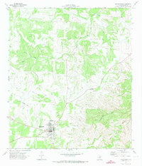
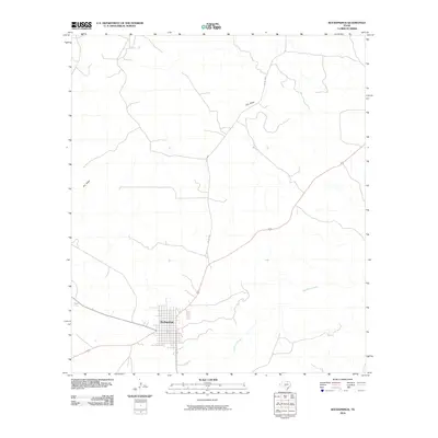
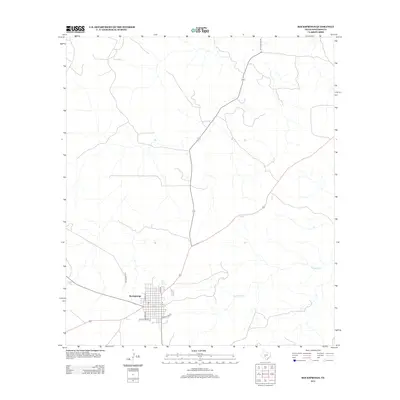
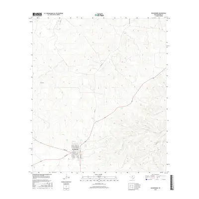
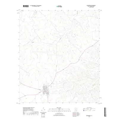
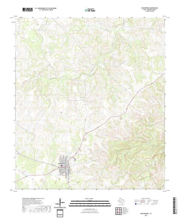
Rocksprings serves as the focal point of this Edwards County survey, revealing the town's layout and infrastructure during the early 1970s. The map captures the transition from the historic Old Rock Springs site to the established town center, which includes essential local landmarks such as the High Sch, Hospital, and a local Park. The surrounding landscape is defined by the ephemeral drainage patterns of Dry Draw and Hackberry Creek, alongside localized water sources like Cedar Pond and Bates Tank.
Find a feature on this map
17 named features on this map. Tap any name to fly to it.
Don’t see what you’re looking for? This feature index may not catch every label — zoom into the map to look around manually.
Map Details
Date Portrayed1971
Date Published1987
PublisherU.S. Geological Survey
Map TypeTopographic
Scale1:24,000
Physical Dimensions23.2 x 27.1 inches
Editions of this 1971 Rocksprings Map
2 editions found
Historical Maps of Rocksprings Through Time
8 maps found
Featured Locations
Source Details
SourceU.S. Geological Survey
CopyrightPublic Domain