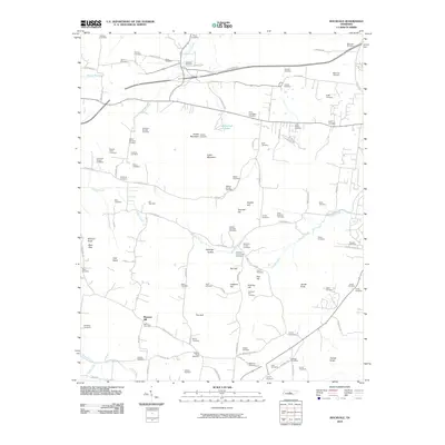
2010 Map of Rockvale
USGS Topo · Published 2010About this map
Pleasant Hill and the surrounding Rutherford County countryside are defined by a high density of ancestral burial grounds and family-named landmarks. This area southwest of Murfreesboro is geographically diverse, ranging from the headwaters of the Harpeth River and Kelly Creek in the south to the prominent heights of Scales Mountain and Indian Mountain in the center. The landscape is dotted with numerous small cemeteries, such as the Lytle-Banks, Wray-Covington, and Lawrence-Yeargin plots, which suggest a long-established pattern of family farmsteads. The local community center revolves around the Rockvale Post Office and Windrow Church, while unusual geological features like Blue Sink and the depression known as The Gulf add character to the terrain. Key transportation corridors like Spanntown Rd and Snail Shell Cave Rd link these rural settlements and ridges.
Find a feature on this map
100 named features on this map. Tap any name to fly to it.
Don’t see what you’re looking for? This feature index may not catch every label — zoom into the map to look around manually.
Map Details
Editions of this 2010 Rockvale Map
This is the sole edition of this map. No revisions or reprints were ever made.
Other maps of this area

1916 · Murfreesboro
USGS Topo · 1:62,500

1936 · Chapel Hill
USGS Topo · 1:24,000

1936 · Rover
USGS Topo · 1:24,000

1936 · Fosterville
USGS Topo · 1:24,000

1942 · Lebanon
USGS Topo · 1:100,000

1944 · Shelbyville
USGS Topo · 1:100,000
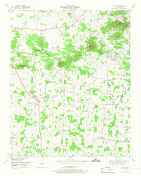
1949 · Rover
USGS Topo · 1:24,000
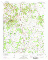
1949 · Chapel Hill
USGS Topo · 1:24,000
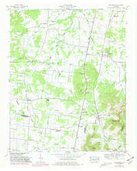
1949 · Fosterville
USGS Topo · 1:24,000

1950 · Walterhill
USGS Topo · 1:24,000