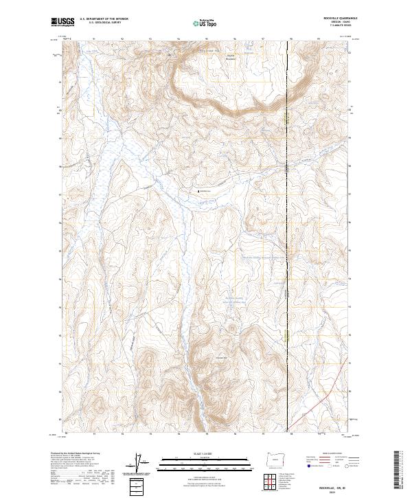
2023 Map of Rockville
USGS Topo · Published 2023About this map
The Owyhee Mountains provide the backdrop for this remote section of the high desert along the border of Oregon and Idaho. The map centers on the high-elevation rangeland of Malheur and Owyhee Counties, where water management defines the landscape. Early irrigation efforts are visible through the McKenzie-Greeley Ditch, while the namesake settlement's heritage is preserved at the Rockville Cem.
Find a feature on this map
38 named features on this map. Tap any name to fly to it.
Don’t see what you’re looking for? This feature index may not catch every label — zoom into the map to look around manually.
Map Details
Editions of this 2023 Rockville Map
This is the sole edition of this map. No revisions or reprints were ever made.
Other maps of this area

1892 · Silver City
USGS Topo · 1:125,000

1894 · Silver City
USGS Topo · 1:125,000

1898 · Silver City
USGS Topo · 1:125,000

1955 · Boise
USGS Topo · 1:250,000

1957 · Sands Basin
USGS Topo · 1:62,500

1958 · Boise
USGS Topo · 1:250,000

1962 · Boise
USGS Topo · 1:250,000

1965 · Rooster Comb Peak
USGS Topo · 1:62,500

1967 · Rockville
USGS Topo · 1:24,000
1967 · Pole Creek Top
USGS Topo · 1:24,000