
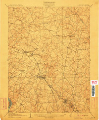
1908 Map of Rockville
USGS Topo · Published 1908About this map
The Potomac River forms the southwestern edge of this landscape, where the Maryland countryside of the early 1900s is organized into a network of numbered districts. Central to the region's economy and growth is the Metropolitan Branch railroad, which links the county seat at Rockville with growing communities like Washington Grove and Gaithersburg. These rail towns contrast with the older agricultural hubs such as Brookeville, Olney, and Laytonsville, which remain anchored by a web of turnpikes and rural roads.
Find a feature on this map
88 named features on this map. Tap any name to fly to it.
Don’t see what you’re looking for? This feature index may not catch every label — zoom into the map to look around manually.
Map Details
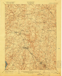
Editions of this 1908 Rockville Map
3 editions found
Other maps of this area

1890 · Mt. Vernon
USGS Topo · 1:125,000

1891 · Mt. Vernon
USGS Topo · 1:125,000

1892 · Laurel
USGS Topo · 1:62,500

1892 · Ellicott
USGS Topo · 1:62,500

1893 · Frederick
USGS Topo · 1:125,000

1894 · Ellicott
USGS Topo · 1:62,500

1894 · Laurel
USGS Topo · 1:62,500

1894 · Frederick
USGS Topo · 1:125,000

1894 · Mt. Vernon
USGS Topo · 1:125,000

1897 · Laurel
USGS Topo · 1:62,500