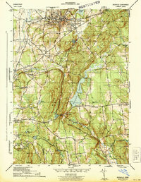
1944 Map of Rockville
USGS Topo · Published 1944About this map
The industrial and residential hub of Rockville dominates the northern landscape of this mid-war survey, centered on the Hockanum River and the sprawling Shenipsit Lake. The area's development is closely tied to the New York New Haven and Hartford Railroad, which threads through the hills to connect manufacturing villages like Talcottville and Quarryville. This era reveals a transition from concentrated mill towns to a broader residential footprint, with numerous local institutions such as the County Home and Maple St Sch serving the growing population.
Find a feature on this map
58 named features on this map. Tap any name to fly to it.
Don’t see what you’re looking for? This feature index may not catch every label — zoom into the map to look around manually.
Map Details
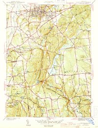
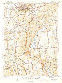
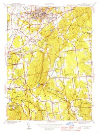
Editions of this 1944 Rockville Map
4 editions found
Other maps of this area

1892 · Hartford
USGS Topo · 1:62,500

1892 · Tolland
USGS Topo · 1:62,500

1892 · Gilead
USGS Topo · 1:62,500

1893 · Middletown
USGS Topo · 1:62,500

1906 · Farmington
USGS Topo · 1:125,000

1921 · Tolland
USGS Topo · 1:62,500

1928 · Glastonbury
USGS Topo · 1:24,000

1928 · Broad Brook
USGS Topo · 1:24,000

1928 · Manchester
USGS Topo · 1:24,000

1944 · Manchester
USGS Topo · 1:31,680