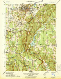
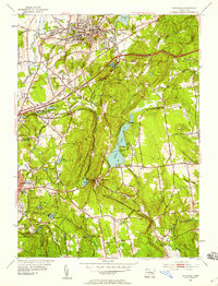
1953 Map of Rockville
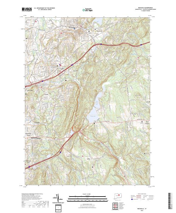
USGS Topo · Published 1955About this map
The industrial hub of Rockville dominates the northern landscape of this mid-century survey, where the Hockanum River winds past established neighborhoods and the New York New Haven and Hartford Railroad provides critical transit. The terrain transitions from these dense corridors to the rolling hills of Vernon and Coventry, defined by water bodies like Shenipsit Lake and Bolton Lake. Local landmarks of the era include the Drive-in Theater near Bolton Notch, a prominent gap in the ridge that has long served as a natural transportation gateway.
Find a feature on this map
64 named features on this map. Tap any name to fly to it.
Don’t see what you’re looking for? This feature index may not catch every label — zoom into the map to look around manually.
Map Details
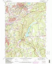
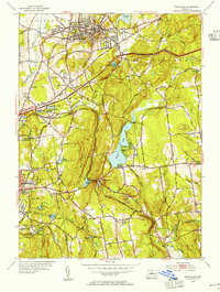
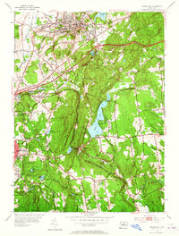
Editions of this 1953 Rockville Map
3 editions found
Historical Maps of Lydallville Through Time
4 maps found