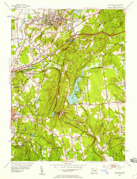
1953 Map of Rockville
USGS Topo · Published 1959About this map
Industrial and rural landscapes of central Connecticut meet in this 1953 revision, which captures the area just as the Wilbur Cross Highway was reshaping local travel. The dense street grid of Rockville transitions into the upland terrain of Grant Hill and the prominent ridge of Box Mountain. This era preserves the rail infrastructure of the New York New Haven and Hartford railroad as it winds through the Bolton Notch and serves mill-derived settlements like Talcottville and Lydallville. Rural life remains anchored by localized institutions such as Vernon Ch, the Grant Hill Sch, and several small reservoirs including Walker Reservoir and Porter Reservoir. A notable mid-century addition is the Drive-in Theater located near the railroad junction at the Notch, illustrating the shift toward car-centric entertainment alongside traditional farming and manufacturing.
Find a feature on this map
53 named features on this map. Tap any name to fly to it.
Don’t see what you’re looking for? This feature index may not catch every label — zoom into the map to look around manually.
Map Details
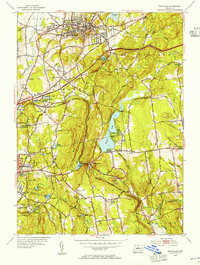
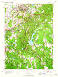
Editions of this 1953 Rockville Map
3 editions found
Other maps of this area

1892 · Hartford
USGS Topo · 1:62,500

1892 · Tolland
USGS Topo · 1:62,500

1892 · Gilead
USGS Topo · 1:62,500

1893 · Middletown
USGS Topo · 1:62,500

1906 · Farmington
USGS Topo · 1:125,000

1921 · Tolland
USGS Topo · 1:62,500

1928 · Glastonbury
USGS Topo · 1:24,000

1928 · Broad Brook
USGS Topo · 1:24,000

1928 · Manchester
USGS Topo · 1:24,000

1944 · Manchester
USGS Topo · 1:31,680