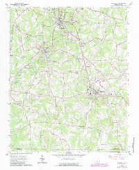
1962 Map of Rockwell
USGS Topo · Published 1987About this map
The extractive industry of Rowan County is central to this portrait of the landscape, where numerous Quarries dot the terrain around Granite Quarry and Faith. These workings, clustered near Dunn Mtn, define the local economy alongside the Southern Railway corridor. Significant cultural landmarks are scattered throughout the quadrangle, including the landmark Old Stone House and the Childrens Home north of Crescent. The map reveals a dense network of early settlements and rural infrastructure, from the industrial site at Shupings Mill to historic religious centers like Organ Ch and Grace-Lower Stone Ch. The road network often bears the names of local families, such as Beatty Ford Road and Lippard Road, providing a window into the genealogical layout of the county during the mid-20th century. This survey records the transition of the area as it maintained its quarrying roots while expanding suburban residential footprints.
Find a feature on this map
66 named features on this map. Tap any name to fly to it.
Don’t see what you’re looking for? This feature index may not catch every label — zoom into the map to look around manually.
Map Details
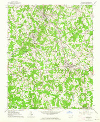
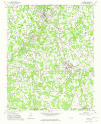
Editions of this 1962 Rockwell Map
3 editions found
Other maps of this area

1893 · Statesville
USGS Topo · 1:125,000

1941 · Charlotte
USGS Topo · 1:125,000

1942 · Charlotte
USGS Topo · 1:125,000

1950 · Concord
USGS Topo · 1:24,000

1953 · Charlotte
USGS Topo · 1:250,000

1954 · Charlotte
USGS Topo · 1:250,000

1957 · Mount Pleasant
USGS Topo · 1:62,500

1960 · Charlotte
USGS Topo · 1:250,000

1962 · Charlotte
USGS Topo · 1:250,000

1962 · Southmont
USGS Topo · 1:24,000