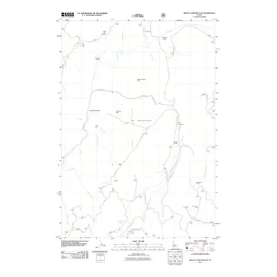
2011 Map of Rocky Comfort Flat
USGS Topo · Published 2011About this map
Rocky Comfort Flat and the surrounding high country of Adams County are defined by a complex drainage system where the Crooked River and Wildhorse River carve through the landscape. This 2011 survey captures a remote region shaped by seasonal ranching and resource extraction, anchored by landmarks such as Cottonwood Corrals and the North Hornet Mine. The terrain is marked by numerous named gulches and flats, including Paradise Flat and Gladheart Gulch, illustrating the local vernacular used to navigate this broken country. Transportation is limited to forest service developments like Wildhorse Rd and Ditch Creek Rd, which provide access to secluded spots like Lafferty Campground. A unique modern addition to this isolated landscape is the Happy Hollow Ranch Airport, serving as a vital link for this high-elevation backcountry.
Find a feature on this map
38 named features on this map. Tap any name to fly to it.
Don’t see what you’re looking for? This feature index may not catch every label — zoom into the map to look around manually.
Map Details
Editions of this 2011 Rocky Comfort Flat Map
This is the sole edition of this map. No revisions or reprints were ever made.
Other maps of this area

1920 · Seven Devils Mining District
USGS Topo · 1:48,000

1955 · Baker
USGS Topo · 1:250,000

1955 · Grangeville
USGS Topo · 1:250,000

1957 · Cuprum
USGS Topo · 1:62,500

1957 · Homestead
USGS Topo · 1:62,500

1957 · Copperfield
USGS Topo · 1:62,500

1957 · Hornet
USGS Topo · 1:62,500

1959 · Baker
USGS Topo · 1:250,000

1959 · Grangeville
USGS Topo · 1:250,000

1980 · McCall
USGS Topo · 1:100,000