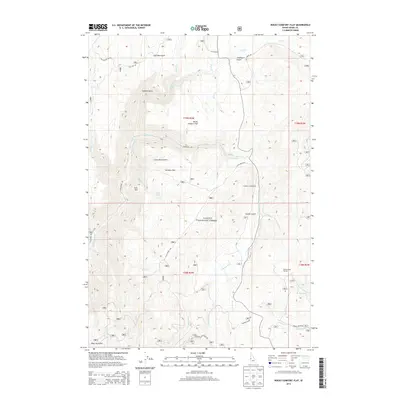
2013 Map of Rocky Comfort Flat
USGS Topo · Published 2013About this map
Rocky Comfort Flat and the surrounding reaches of the Payette National Forest define this landscape in Adams County. This high-altitude drainage basin is dominated by the Crooked River and the Wildhorse River, which are fed by numerous seasonal streams and springs like Clifton Spring. The map reveals a network of land management and recreation, including the Lafferty Campground and livestock infrastructure at Cottonwood Corrals.
Find a feature on this map
41 named features on this map. Tap any name to fly to it.
Don’t see what you’re looking for? This feature index may not catch every label — zoom into the map to look around manually.
Map Details
Editions of this 2013 Rocky Comfort Flat Map
This is the sole edition of this map. No revisions or reprints were ever made.
Other maps of this area

1920 · Seven Devils Mining District
USGS Topo · 1:48,000

1955 · Baker
USGS Topo · 1:250,000

1955 · Grangeville
USGS Topo · 1:250,000

1957 · Cuprum
USGS Topo · 1:62,500

1957 · Homestead
USGS Topo · 1:62,500

1957 · Copperfield
USGS Topo · 1:62,500

1957 · Hornet
USGS Topo · 1:62,500

1959 · Baker
USGS Topo · 1:250,000

1959 · Grangeville
USGS Topo · 1:250,000

1980 · McCall
USGS Topo · 1:100,000