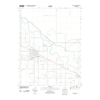
2010 Map of Rocky Ford
USGS Topo · Published 2010About this map
The Arkansas River carves a path through this agricultural landscape in the Otero County high plains, defining the development of Rocky Ford. A sophisticated network of irrigation infrastructure is visible, including the Catlin Canal, Otero Canal, and Fort Lyon Storage Canal, which support the region's famous produce heritage at Melon Field. The town itself is centered around the Rocky Ford Post Office, with the Rocky Ford Water Works and Valley View Cemetery situated nearby. Moving southeast toward Swink, the map identifies smaller community clusters such as Newdale and Krammes. To the north, the Dye Reservoir and its accompanying Dye Dam regulate the river's flow, while transportation is facilitated by the Todd Airport and an extensive grid of county roads that link outlying agricultural fields and local landmarks like Cottonwood Field.
Find a feature on this map
60 named features on this map. Tap any name to fly to it.
Don’t see what you’re looking for? This feature index may not catch every label — zoom into the map to look around manually.
Map Details
Editions of this 2010 Rocky Ford Map
This is the sole edition of this map. No revisions or reprints were ever made.
Other maps of this area

1891 · Catlin
USGS Topo · 1:125,000

1891 · Timpas
USGS Topo · 1:125,000

1893 · Catlin
USGS Topo · 1:125,000

1894 · Timpas
USGS Topo · 1:125,000

1953 · Cheraw
USGS Topo · 1:24,000

1954 · Meredith Hill
USGS Topo · 1:24,000

1954 · Sugar City
USGS Topo · 1:24,000

1954 · Ordway
USGS Topo · 1:24,000

1954 · Manzanola
USGS Topo · 1:24,000

1954 · Lamar
USGS Topo · 1:250,000