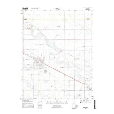
2016 Map of Rocky Ford
USGS Topo · Published 2016About this map
The Arkansas River forms the central artery of this landscape, supporting an intricate network of irrigation vital to the region's agricultural identity. In the early 21st century, the community of Rocky Ford remains defined by this water-dependent economy, with the Rocky Ford Highline Canal, Fort Lyon Storage Canal, and Catlin Canal carving across the terrain to feed locations like Melon Field and Cottonwood Field. These irrigation systems reflect a long-standing tradition of diverting the river to transform the arid surroundings into productive acreage.
Find a feature on this map
93 named features on this map. Tap any name to fly to it.
Don’t see what you’re looking for? This feature index may not catch every label — zoom into the map to look around manually.
Map Details
Editions of this 2016 Rocky Ford Map
This is the sole edition of this map. No revisions or reprints were ever made.
Other maps of this area

1891 · Catlin
USGS Topo · 1:125,000

1891 · Timpas
USGS Topo · 1:125,000

1893 · Catlin
USGS Topo · 1:125,000

1894 · Timpas
USGS Topo · 1:125,000

1953 · Cheraw
USGS Topo · 1:24,000

1954 · Meredith Hill
USGS Topo · 1:24,000

1954 · Sugar City
USGS Topo · 1:24,000

1954 · Ordway
USGS Topo · 1:24,000

1954 · Manzanola
USGS Topo · 1:24,000

1954 · Lamar
USGS Topo · 1:250,000