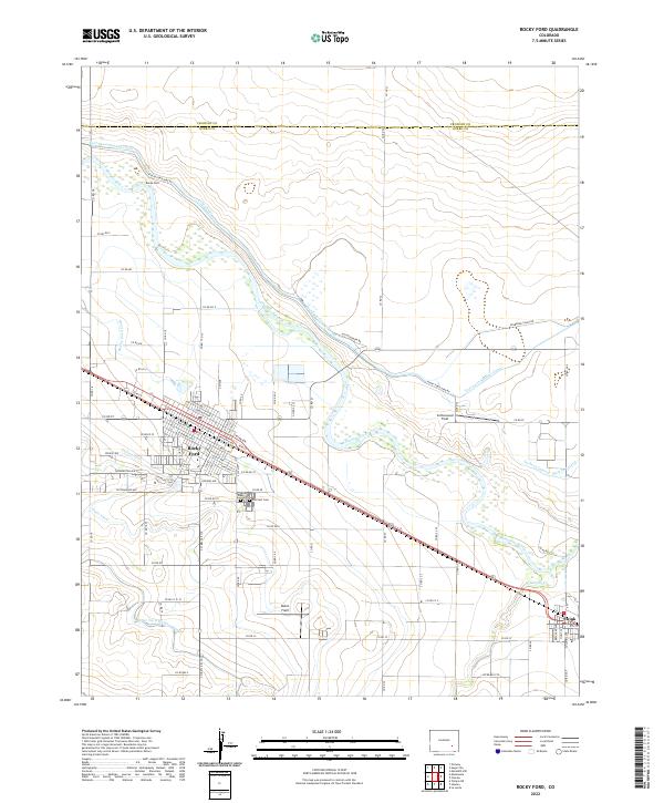
2022 Map of Rocky Ford
USGS Topo · Published 2022About this map
Rocky Ford serves as the primary hub of this Arkansas River Valley landscape, characterized by a complex network of irrigation infrastructure essential to Colorado agriculture. The Arkansas River winds through the center of the sheet, flanked by an intricate system of waterways including the Fort Lyon Storage Canal, Catlin Canal, and Rocky Ford Highline Canal. These engineering works define the local economy, supporting specific areas like Melon Field and Cottonwood Field. To the east, the smaller settlement of Swink sits along the rail corridor, while local history is anchored at Valley View Cem and Hillcrest Cem south of the main town. The map reveals the precise intersection of natural hydrology and man-made irrigation that has sustained the region's famous produce for over a century.
Find a feature on this map
86 named features on this map. Tap any name to fly to it.
Don’t see what you’re looking for? This feature index may not catch every label — zoom into the map to look around manually.
Map Details
Editions of this 2022 Rocky Ford Map
This is the sole edition of this map. No revisions or reprints were ever made.
Other maps of this area

1891 · Catlin
USGS Topo · 1:125,000

1891 · Timpas
USGS Topo · 1:125,000

1893 · Catlin
USGS Topo · 1:125,000

1894 · Timpas
USGS Topo · 1:125,000

1953 · Cheraw
USGS Topo · 1:24,000

1954 · Meredith Hill
USGS Topo · 1:24,000

1954 · Sugar City
USGS Topo · 1:24,000

1954 · Ordway
USGS Topo · 1:24,000

1954 · Manzanola
USGS Topo · 1:24,000

1954 · Lamar
USGS Topo · 1:250,000