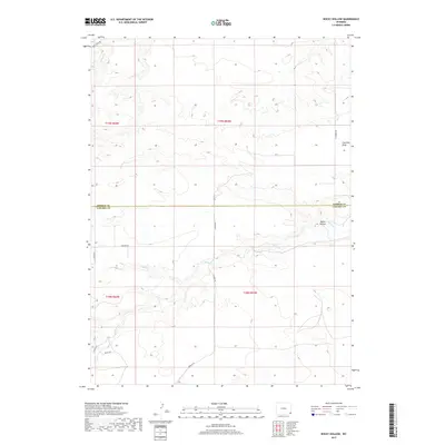
2017 Map of Rocky Hollow
USGS Topo · Published 2017About this map
Horse Cr and its many seasonal tributaries, such as Cattail Cr, define the drainage patterns across this high plains landscape on the border of Laramie and Goshen counties. The terrain is marked by significant topographical shifts, most notably at Rocky Hollow and Fourmile Draw, where the elevation drops from the surrounding flats. A systematic grid of section lines and rural roads, including Karkow Rd and Schliske Rd, reveals the enduring structure of western land divisions. The presence of Missile Rd in the southwest corner hints at the region's strategic importance during the late 20th century, serving as a reminder of the military infrastructure integrated into these remote ranching and agricultural lands.
Find a feature on this map
20 named features on this map. Tap any name to fly to it.
Don’t see what you’re looking for? This feature index may not catch every label — zoom into the map to look around manually.
Map Details
Editions of this 2017 Rocky Hollow Map
This is the sole edition of this map. No revisions or reprints were ever made.
Other maps of this area

1899 · Goshen Hole
USGS Topo · 1:125,000

1911 · Cheyenne
USGS Topo · 1:125,000

1914 · Cheyenne
USGS Topo · 1:125,000

1954 · Cheyenne
USGS Topo · 1:250,000

1958 · Cheyenne
USGS Topo · 1:250,000

1960 · Diamond Flat
USGS Topo · 1:24,000

1960 · Rocky Hollow
USGS Topo · 1:24,000

1960 · Kessler Gap
USGS Topo · 1:24,000

1960 · Meriden
USGS Topo · 1:24,000

1963 · Little Indian Draw
USGS Topo · 1:24,000