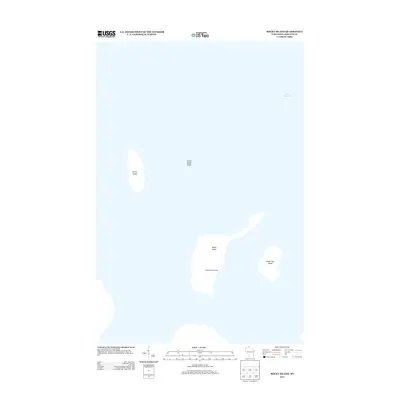
2013 Map of Rocky Island
USGS Topo · Published 2013About this map
Lake Superior surrounds the northernmost reaches of the Apostle Islands in this 2013 survey, where isolated landmasses rise from the cold waters of the great lake. Rocky Island serves as a focal point for local maritime history, featuring the Hadland Fishing Camp on its southern shore, a site that reflects the region's enduring commercial fishing heritage. To the west, the distinct profile of Devils Island stands apart, flanked by the submerged hazards of Devils Island Shoal. The geography here is defined by these scattered islands, including South Twin Island to the southeast, which were mapped by the U.S. Geological Survey to document the shoreline and terrain of these remote Wisconsin outposts. This map captures the islands in their modern state, highlighting the intersection of natural isolation and specialized human activity in the farthest reaches of Ashland County.
Find a feature on this map
6 named features on this map. Tap any name to fly to it.
Don’t see what you’re looking for? This feature index may not catch every label — zoom into the map to look around manually.
Map Details
Editions of this 2013 Rocky Island Map
This is the sole edition of this map. No revisions or reprints were ever made.
Other maps of this area

1941 · Bayfield
USGS Topo · 1:48,000

1946 · Bayfield
USGS Topo · 1:48,000

1953 · Ashland
USGS Topo · 1:250,000

1954 · Two Harbors
USGS Topo · 1:250,000

1957 · Two Harbors
USGS Topo · 1:250,000

1958 · Ashland
USGS Topo · 1:250,000

1958 · Two Harbors
USGS Topo · 1:250,000

1963 · Cat Island
USGS Topo · 1:24,000

1963 · Rocky Island
USGS Topo · 1:62,500

1963 · Oak Island
USGS Topo · 1:24,000