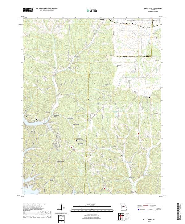
2021 Map of Rocky Mount
USGS Topo · Published 2021About this map
Barnett and the surrounding Morgan County landscape are meticulously documented in this 2021 modern survey. The map details a transition from the agricultural uplands toward the more complex drainage systems of the Ozarks region. Waterways like Indian Cr, Flag Br, and Landrum Br carve the terrain, dictating the road patterns and property layouts. Notable for local history and genealogy, the map identifies the Dooley Chapel Cem, serving as a permanent landmark for family researchers in the area. The community of Rocky Mount serves as a secondary focal point, showing the contemporary settlement patterns and road networks that have evolved from early trail systems into the modern infrastructure of central Missouri.
Find a feature on this map
6 named features on this map. Tap any name to fly to it.
Don’t see what you’re looking for? This feature index may not catch every label — zoom into the map to look around manually.
Map Details
Editions of this 2021 Rocky Mount Map
This is the sole edition of this map. No revisions or reprints were ever made.
Other maps of this area

1888 · Versailles
USGS Topo · 1:125,000

1893 · Versailles
USGS Topo · 1:125,000

1904 · Eldon
USGS Topo · 1:62,500

1904 · Gravois Mills
USGS Topo · 1:62,500

1932 · Versailles No 4
USGS Topo · 1:48,000

1934 · Purvis
USGS Topo · 1:24,000

1934 · Lake Ozark
USGS Topo · 1:24,000

1934 · Bagnell
USGS Topo · 1:24,000

1935 · Gravois Mills
USGS Topo · 1:24,000

1935 · Rocky Mount
USGS Topo · 1:24,000