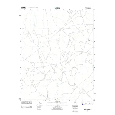
2011 Map of Rocky Ridge SW
USGS Topo · Published 2011About this map
Rocky Ridge and the surrounding high desert of Navajo County appear here in a landscape defined by seasonal water sources and a network of tribal routes. The terrain is marked by significant elevations like Cliff Rdg, while the distribution of water is recorded at sites such as Tis Yo Toh Spring, White Cave Spring, and Ba Ha Zohnie Betoh. This area’s infrastructure relies on designated roads like Indian Rte 6610 and Indian Rte 821, which connect the scattered springs and landmarks. The naming of features like Sunlit Spring and Tolah Nascin reflects the cultural and geological importance of water in this arid environment, providing a detailed look at the rural Navajo Nation territory as it was managed in the early 21st century.
Find a feature on this map
11 named features on this map. Tap any name to fly to it.
Don’t see what you’re looking for? This feature index may not catch every label — zoom into the map to look around manually.
Map Details
Editions of this 2011 Rocky Ridge SW Map
This is the sole edition of this map. No revisions or reprints were ever made.
Other maps of this area

1883 · Marsh Pass
USGS Topo · 1:250,000

1883 · Tusayan
USGS Topo · 1:250,000

1886 · Tusayan
USGS Topo · 1:250,000

1892 · Marsh Pass
USGS Topo · 1:250,000

1947 · Flagstaff
USGS Topo · 1:250,000

1954 · Flagstaff
USGS Topo · 1:250,000

1956 · Marble Canyon
USGS Topo · 1:250,000

1958 · Flagstaff
USGS Topo · 1:250,000

1959 · Marble Canyon
USGS Topo · 1:250,000

1960 · Flagstaff
USGS Topo · 1:250,000