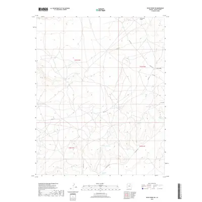
2018 Map of Rocky Ridge SW
USGS Topo · Published 2018About this map
Rocky Ridge anchors this high-desert landscape in Navajo County, appearing as it did during the 2018 survey. The terrain is defined by the significant rise of Cliff Ridge, which runs through the eastern portion of the map, and the deep incision of Cottonwood Canyon in the north. Water sources are critical identifiers in this arid environment, with several distinct locations named, including White Cave Spring, Dove Spring, and Sunlit Spring.
Find a feature on this map
18 named features on this map. Tap any name to fly to it.
Don’t see what you’re looking for? This feature index may not catch every label — zoom into the map to look around manually.
Map Details
Editions of this 2018 Rocky Ridge SW Map
This is the sole edition of this map. No revisions or reprints were ever made.
Other maps of this area

1883 · Marsh Pass
USGS Topo · 1:250,000

1883 · Tusayan
USGS Topo · 1:250,000

1886 · Tusayan
USGS Topo · 1:250,000

1892 · Marsh Pass
USGS Topo · 1:250,000

1947 · Flagstaff
USGS Topo · 1:250,000

1954 · Flagstaff
USGS Topo · 1:250,000

1956 · Marble Canyon
USGS Topo · 1:250,000

1958 · Flagstaff
USGS Topo · 1:250,000

1959 · Marble Canyon
USGS Topo · 1:250,000

1960 · Flagstaff
USGS Topo · 1:250,000