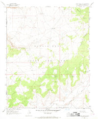
1967 Map of Rocky Ridge SW
USGS Topo · Published 1969About this map
The Navajo-Hopi Joint Use Area dominates this high-desert landscape in northeastern Arizona, documenting a territory shared by two nations during a significant period of legal and administrative definition. The terrain is defined by the prominent Rocky Ridge to the east and the meandering path of Dinnebito Wash in the south, illustrating the vital importance of water sources in this arid environment. Indigenous landmarks and heritage are visible through labels for Petroglyphs and traditionally named springs like Tis Ya Toh and Totah Nasein.
Find a feature on this map
15 named features on this map. Tap any name to fly to it.
Don’t see what you’re looking for? This feature index may not catch every label — zoom into the map to look around manually.
Map Details
Editions of this 1967 Rocky Ridge SW Map
This is the sole edition of this map. No revisions or reprints were ever made.
Other maps of this area

1883 · Marsh Pass
USGS Topo · 1:250,000

1883 · Tusayan
USGS Topo · 1:250,000

1886 · Tusayan
USGS Topo · 1:250,000

1892 · Marsh Pass
USGS Topo · 1:250,000

1947 · Flagstaff
USGS Topo · 1:250,000

1954 · Flagstaff
USGS Topo · 1:250,000

1956 · Marble Canyon
USGS Topo · 1:250,000

1958 · Flagstaff
USGS Topo · 1:250,000

1959 · Marble Canyon
USGS Topo · 1:250,000

1960 · Flagstaff
USGS Topo · 1:250,000