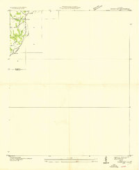
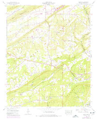
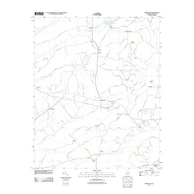
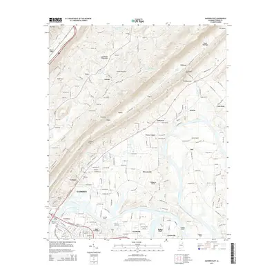
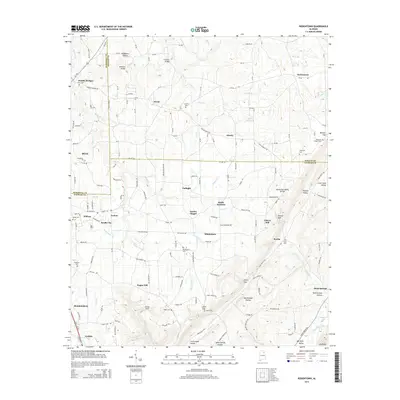
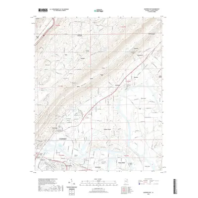
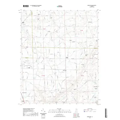
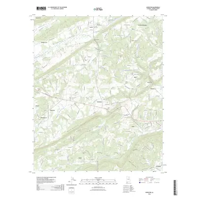
1936 Map of Roden Gap
USGS Topo · Published 1936About this map
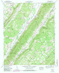
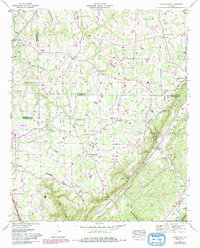
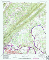
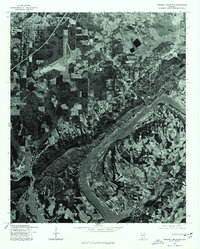
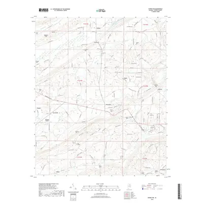
Sand Mountain dominates this portion of the Alabama landscape, where the Tennessee Basin meets a prominent geographic Divide. Surveyed in the mid-1930s, the map reveals a sparsely populated upland region characterized by small rural settlements and scattered watercourses like Coal Branch and Carter Branch. The local community's social structure is anchored by educational landmarks, including Carter Sch near the northern boundary and Marcus Sch further south. The settlement at Wallace and the passage at Roden Gap provide key reference points for researchers tracing the early 20th-century development of the DeKalb and Etowah county line. This document reflects a moment when the Tennessee Valley Authority and the Geological Survey were beginning to systematically chart the more isolated stretches of the Appalachians using modern aerial photography.
Find a feature on this map
10 named features on this map. Tap any name to fly to it.
Don’t see what you’re looking for? This feature index may not catch every label — zoom into the map to look around manually.
Map Details
Editions of this 1936 Roden Gap Map
This is the sole edition of this map. No revisions or reprints were ever made.
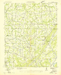
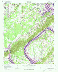
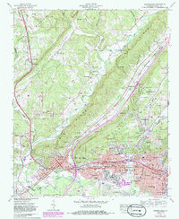
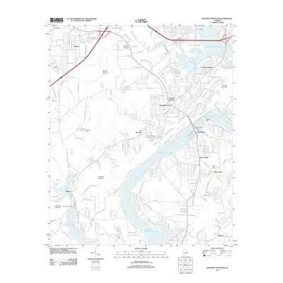
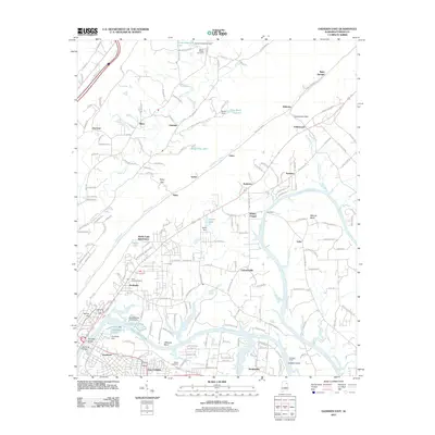
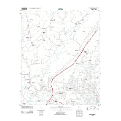
Historical Maps of Collinsville Through Time
43 maps found
1936 Roden Gap
Etowah County, AL
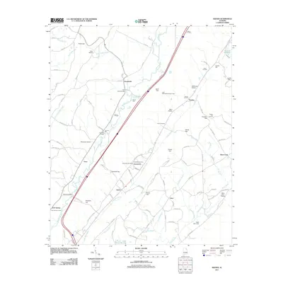
1936 Rodentown
Etowah County, AL
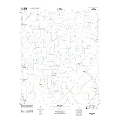
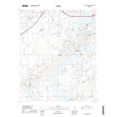
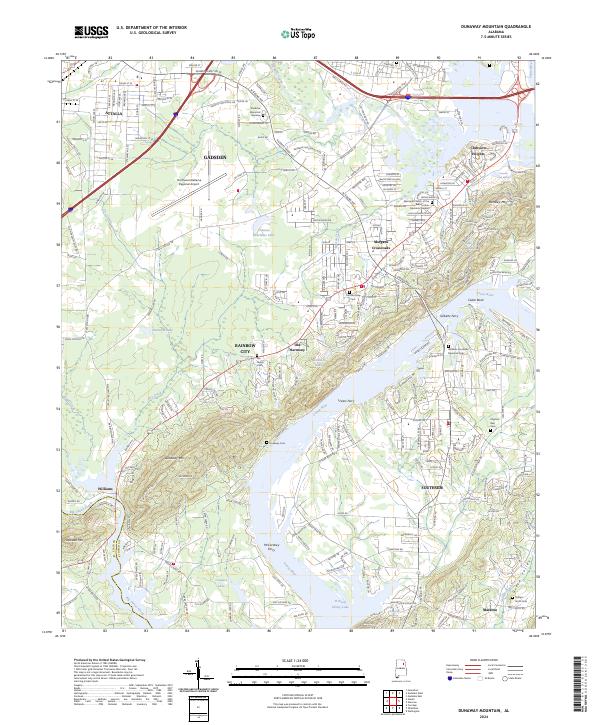
1947 Dunaway Mountain
Etowah County, AL
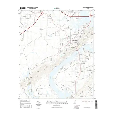
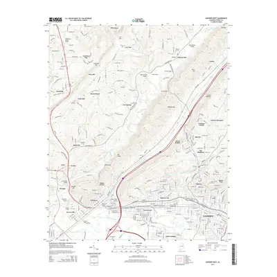
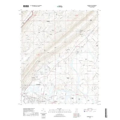
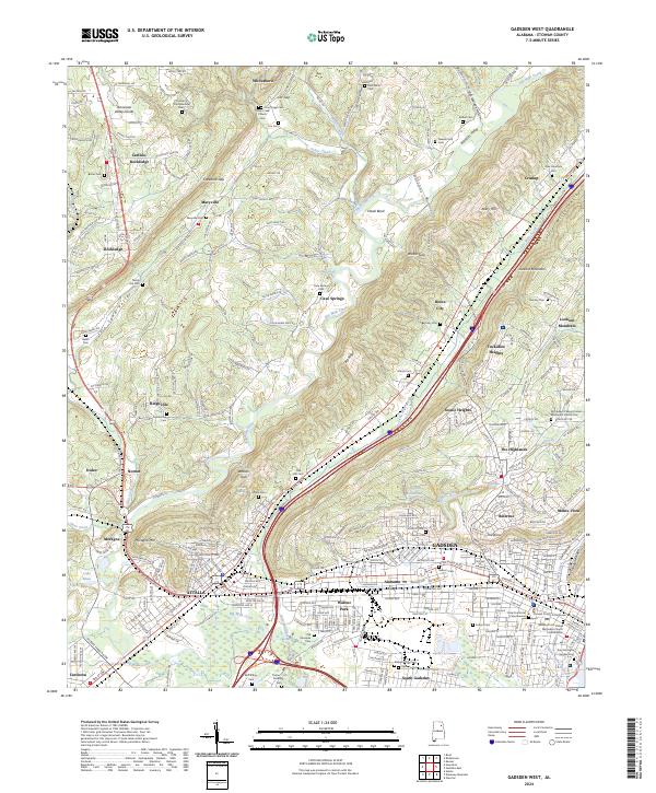
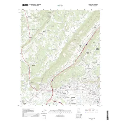
1959 Gadsden West
Etowah County, AL
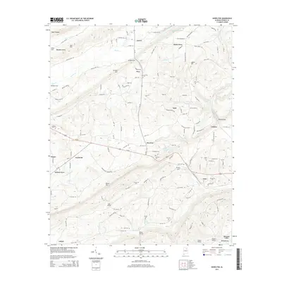
1959 Howelton
Etowah County, AL
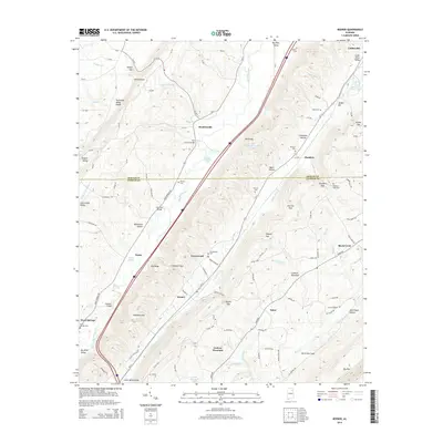
1959 Keener
Etowah County, AL
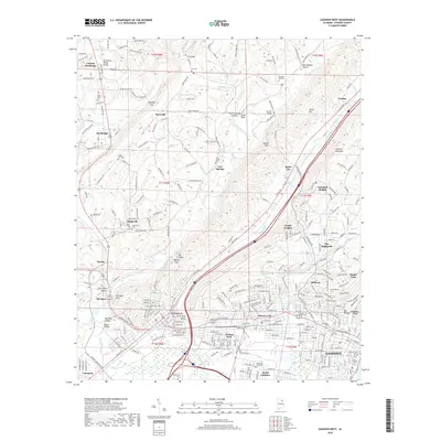
1959 Rodentown
Etowah County, AL
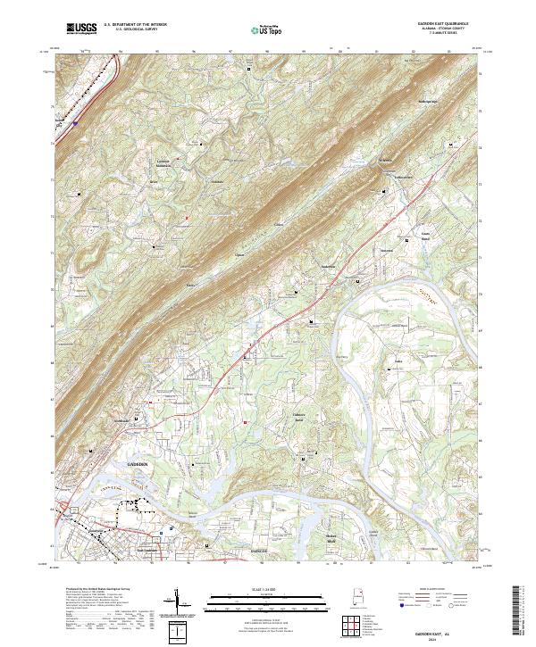
1967 Gadsden East
Etowah County, AL
1975 Dunaway Mountain
Etowah County, AL
2011 Dunaway Mountain
Etowah County, AL
2011 Gadsden East
Etowah County, AL
2011 Gadsden West
Etowah County, AL
2011 Howelton
Etowah County, AL
2011 Keener
Etowah County, AL
2011 Rodentown
Etowah County, AL
2014 Dunaway Mountain
Etowah County, AL
2014 Gadsden East
Etowah County, AL
2014 Gadsden West
Etowah County, AL
2014 Howelton
Etowah County, AL
2014 Keener
Etowah County, AL
2014 Rodentown
Etowah County, AL
2018 Dunaway Mountain
Etowah County, AL
2018 Gadsden East
Etowah County, AL
2018 Gadsden West
Etowah County, AL
2018 Howelton
Etowah County, AL
2018 Keener
Etowah County, AL
2018 Rodentown
Etowah County, AL
2020 Dunaway Mountain
Etowah County, AL
2020 Gadsden East
Etowah County, AL
2020 Gadsden West
Etowah County, AL
2020 Howelton
Etowah County, AL
2020 Keener
Etowah County, AL
2020 Rodentown
Etowah County, AL
2024 Dunaway Mountain
Etowah County, AL
2024 Gadsden East
Etowah County, AL
2024 Gadsden West
Etowah County, AL
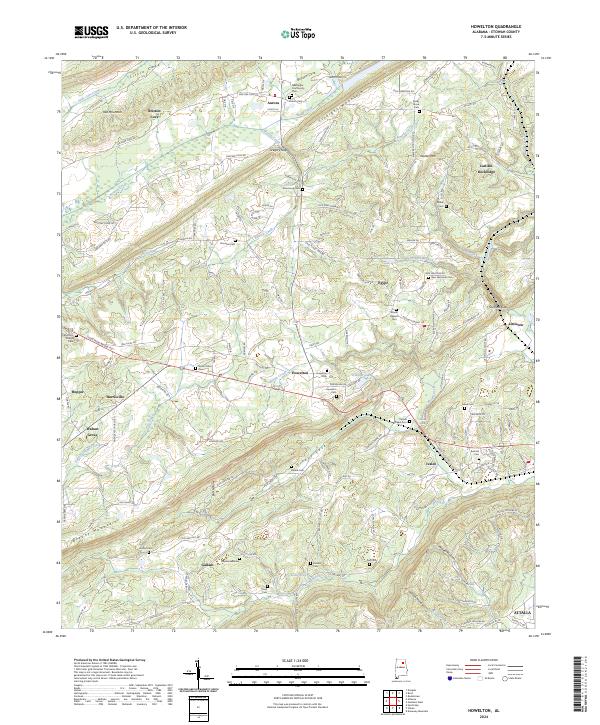
2024 Howelton
Etowah County, AL
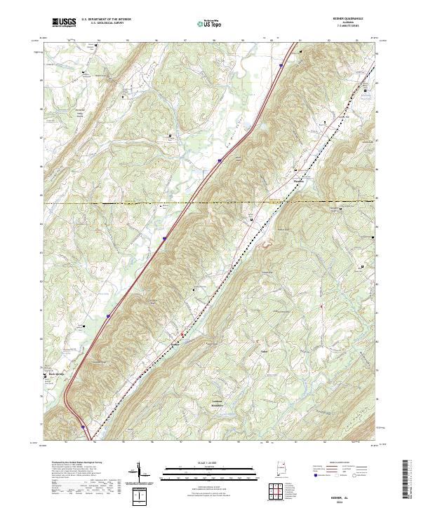
2024 Keener
Etowah County, AL
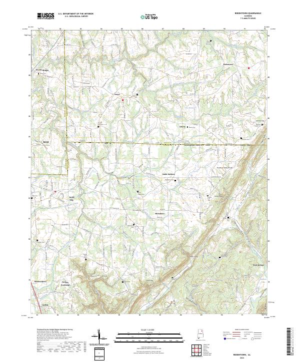
2024 Rodentown
Etowah County, AL
2026 Gadsden West
Etowah County, AL
2026 Howelton
Etowah County, AL
2026 Keener
Etowah County, AL
2026 Rodentown
Etowah County, AL