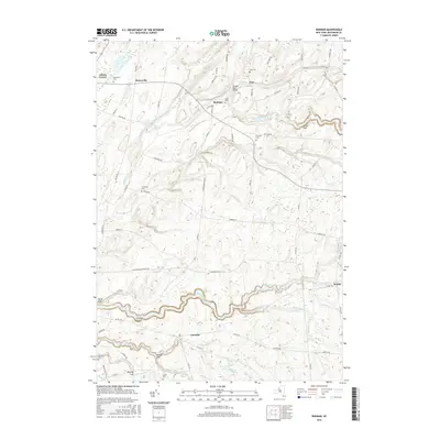
2016 Map of Rodman
USGS Topo · Published 2016About this map
Lorraine Gulf and Inman Gulf define the dramatic topography of this Jefferson County landscape, where deep ravines carved by South Sandy Creek and its tributaries reveal the underlying geology. The map documents a network of small agricultural settlements and crossroads including Rodman, Lorraine, Honeyville, and Zoar. These communities are anchored by numerous family and community burial grounds such as Honeyville Cem and Isham Cem, which provide critical reference points for genealogical research in the region.
Find a feature on this map
78 named features on this map. Tap any name to fly to it.
Don’t see what you’re looking for? This feature index may not catch every label — zoom into the map to look around manually.
Map Details
Editions of this 2016 Rodman Map
This is the sole edition of this map. No revisions or reprints were ever made.
Other maps of this area

1893 · Sackets Harbor
USGS Topo · 1:62,500

1895 · Sacketts Harbor
USGS Topo · 1:62,500

1895 · Pulaski
USGS Topo · 1:62,500

1895 · Watertown
USGS Topo · 1:62,500

1898 · Watertown
USGS Topo · 1:62,500

1903 · Orwell
USGS Topo · 1:62,500

1905 · Orwell
USGS Topo · 1:62,500

1908 · Watertown
USGS Topo · 1:62,500

1909 · Watertown
USGS Topo · 1:62,500

1942 · Sandy Creek
USGS Topo · 1:24,000