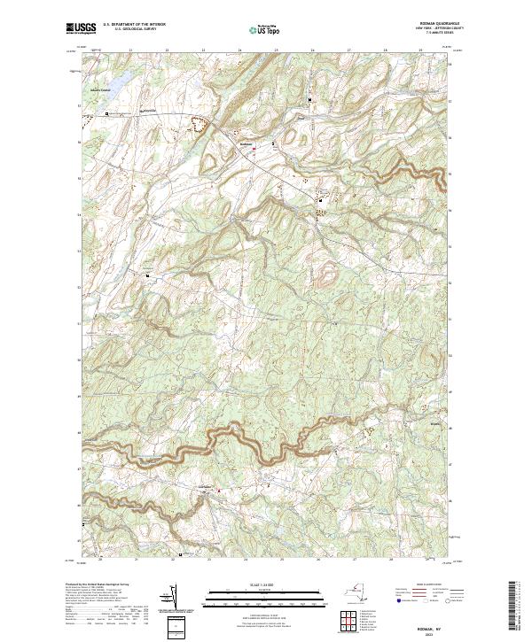
2023 Map of Rodman
USGS Topo · Published 2023About this map
Sandy Creek and its many tributaries, including North Branch Sandy Creek and South Sandy Creek, define the landscape of this portion of Jefferson County. The terrain is notably marked by deep ravines known locally as gulfs, such as Lorraine Gulf, Inman Gulf, and Totman Gulf, which cut through the uplands. These geological features dictated the placement of early settlements and roads, with villages like Rodman, Lorraine, and Worth established near these watercourses.
Find a feature on this map
77 named features on this map. Tap any name to fly to it.
Don’t see what you’re looking for? This feature index may not catch every label — zoom into the map to look around manually.
Map Details
Editions of this 2023 Rodman Map
This is the sole edition of this map. No revisions or reprints were ever made.
Other maps of this area

1893 · Sackets Harbor
USGS Topo · 1:62,500

1895 · Sacketts Harbor
USGS Topo · 1:62,500

1895 · Pulaski
USGS Topo · 1:62,500

1895 · Watertown
USGS Topo · 1:62,500

1898 · Watertown
USGS Topo · 1:62,500

1903 · Orwell
USGS Topo · 1:62,500

1905 · Orwell
USGS Topo · 1:62,500

1908 · Watertown
USGS Topo · 1:62,500

1909 · Watertown
USGS Topo · 1:62,500

1942 · Sandy Creek
USGS Topo · 1:24,000