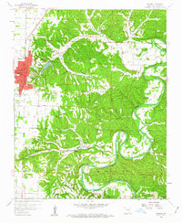
1958 Map of Rogers
USGS Topo · Published 1963About this map
Rogers sits at the western edge of this 1950s terrain, where the established grid of the town center meets the winding hollows and ridges of the White River valley. To the east, the landscape is defined by the dramatic loop of Horseshoe Bend and the deep incisions of Esculapia Hollow and Sugar Hollow. The proximity of Lake Atlanta to the urban core and the presence of several natural springs, including Electric Springs and Diamond Spring, suggest the area's development as a destination for both recreation and health-related tourism.
Find a feature on this map
52 named features on this map. Tap any name to fly to it.
Don’t see what you’re looking for? This feature index may not catch every label — zoom into the map to look around manually.
Map Details
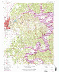
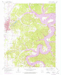
Editions of this 1958 Rogers Map
4 editions found

Other maps of this area

1899 · Fayetteville
USGS Topo · 1:125,000

1900 · Eureka Springs
USGS Topo · 1:125,000

1901 · Eureka Springs
USGS Topo · 1:125,000

1901 · Fayetteville
USGS Topo · 1:125,000

1904 · Fayetteville
USGS Topo · 1:125,000

1945 · Harrison
USGS Topo · 1:250,000

1949 · Harrison
USGS Topo · 1:250,000

1954 · Harrison
USGS Topo · 1:250,000

1954 · Tulsa
USGS Topo · 1:250,000

1957 · War Eagle
USGS Topo · 1:24,000