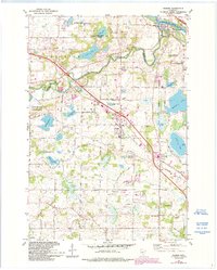
1981 Map of Rogers
USGS Topo · Published 1993About this map
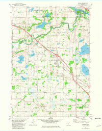
The confluence of the Mississippi River and the Crow River shapes the northern landscape of this region, where the town of Dayton sits near Goodin Island. To the west, the Burlington Northern railroad corridor serves as the primary spine for growth in Rogers, which is shown here during a period of transition with expansion noted in purple revisions from the early 1990s. The map highlights a complex hydrography of glacial lakes including Rice Lake, Foster Lake, and Sylvan Lake, many of which are buffered by protected lands like the Otsego State Wildlife Management Area. Genealogists will find significant value in the distribution of parish landmarks and burial grounds, such as St John the Baptist Cem and Old St Walburga Cem, which reflect the early European settlement patterns of these rural townships before suburban intensification reached the area.
Find a feature on this map
52 named features on this map. Tap any name to fly to it.
Don’t see what you’re looking for? This feature index may not catch every label — zoom into the map to look around manually.
Map Details
Editions of this 1981 Rogers Map
2 editions found
Other maps of this area

1902 · Anoka
USGS Topo · 1:62,500

1909 · Rockford
USGS Topo · 1:62,500

1916 · St. Francis
USGS Topo · 1:62,500

1919 · St. Francis
USGS Topo · 1:62,500

1953 · Stillwater
USGS Topo · 1:250,000

1955 · Osseo
USGS Topo · 1:24,000

1955 · Anoka
USGS Topo · 1:24,000

1955 · Anoka
USGS Topo · 1:62,500

1955 · Stillwater
USGS Topo · 1:250,000

1958 · Stillwater
USGS Topo · 1:250,000