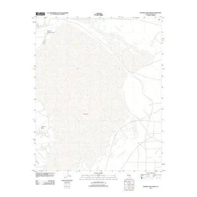
2012 Map of Rogers Lake North
USGS Topo · Published 2012About this map
Rogers Lake, a dry lake bed defined by vast stretches of Silt, dominates the landscape of this portion of Kern County. This 2012 survey illustrates the expanse of this natural playa and its integration into the critical defense infrastructure of the region. The map shows the boundaries of Edwards Air Force Base and the more specific Edwards Air Force Auxiliary North Base situated along the northern reaches of the lake. The terrain is notably level, a characteristic that made the area historically significant for military flight testing and aerospace development. Roads and runways intersect the basin, reflecting the specialized utility of the desert floor for large-scale operations.
Find a feature on this map
4 named features on this map. Tap any name to fly to it.
Don’t see what you’re looking for? This feature index may not catch every label — zoom into the map to look around manually.
Map Details
Editions of this 2012 Rogers Lake North Map
This is the sole edition of this map. No revisions or reprints were ever made.
Other maps of this area

1915 · Searles Lake
USGS Topo · 1:250,000

1937 · Kramer
USGS Topo · 1:48,000

1937 · Rogers Lake
USGS Topo · 1:48,000

1942 · Kramer
USGS Topo · 1:62,500

1942 · Rogers Lake
USGS Topo · 1:62,500

1943 · Castle Butte
USGS Topo · 1:62,500

1947 · Fluhr
USGS Topo · 1:24,000

1947 · Castle Butte
USGS Topo · 1:50,000

1947 · Rich
USGS Topo · 1:24,000

1947 · Desert Butte
USGS Topo · 1:24,000