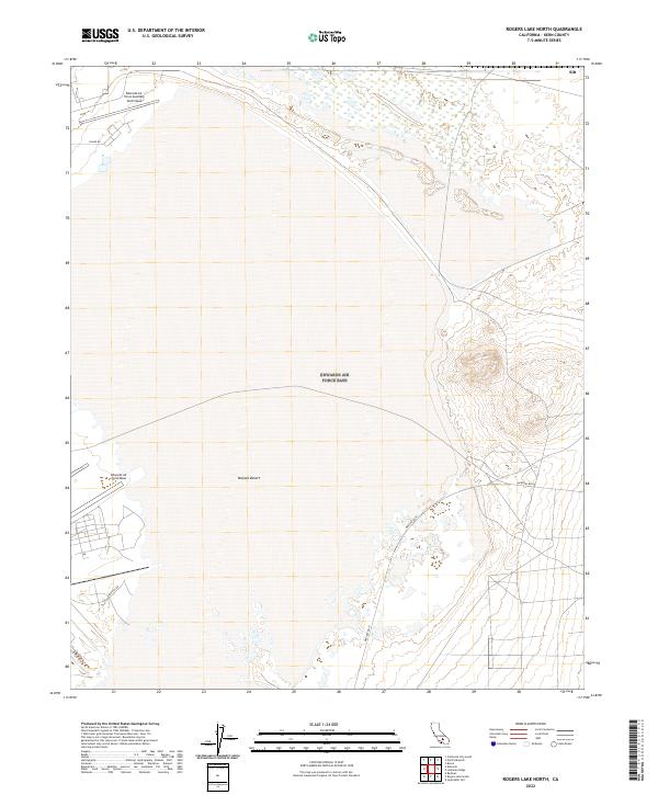
2022 Map of Rogers Lake North
USGS Topo · Published 2022About this map
The Mojave Desert terrain of Kern County is the primary setting for this 2022 survey, dominated by significant military installations. The landscape is defined by the expansive presence of Edwards Air Force Base and the Edwards Air Force Auxiliary North Base, highlighting the region's importance for aerospace and defense operations. Ground-level infrastructure supporting these bases is visible through a specialized road network, including the diagonal path of Mercury Blvd, N Base Rd, and Hospital Rd. This survey captures a modern look at the highly controlled and sparsely populated desert environment, where the grid of public land surveys meets the utilitarian needs of high-tech aviation testing grounds.
Find a feature on this map
12 named features on this map. Tap any name to fly to it.
Don’t see what you’re looking for? This feature index may not catch every label — zoom into the map to look around manually.
Map Details
Editions of this 2022 Rogers Lake North Map
This is the sole edition of this map. No revisions or reprints were ever made.
Other maps of this area

1915 · Searles Lake
USGS Topo · 1:250,000

1937 · Kramer
USGS Topo · 1:48,000

1937 · Rogers Lake
USGS Topo · 1:48,000

1942 · Kramer
USGS Topo · 1:62,500

1942 · Rogers Lake
USGS Topo · 1:62,500

1943 · Castle Butte
USGS Topo · 1:62,500

1947 · Fluhr
USGS Topo · 1:24,000

1947 · Castle Butte
USGS Topo · 1:50,000

1947 · Rich
USGS Topo · 1:24,000

1947 · Desert Butte
USGS Topo · 1:24,000