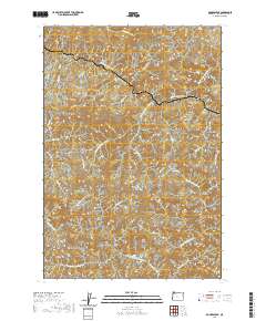
2020 Map of Rogers Peak
USGS Topo · Published 2020About this map
Enright and Belding Point anchor this steep, high-elevation landscape in the northern Oregon Coast Range. The terrain is defined by the headwaters of the Salmonberry River and the N Fork Wilson River, which carve deep drainages through the timbered heights. Prominent summits like Rogers Peak, Pinochle Peak, and Buck Mtn dominate the topography, connected by a network of forestry roads such as Tin Shack Rd and the Cook Creek-Belding Rd.
Find a feature on this map
43 named features on this map. Tap any name to fly to it.
Don’t see what you’re looking for? This feature index may not catch every label — zoom into the map to look around manually.
Map Details
Editions of this 2020 Rogers Peak Map
This is the sole edition of this map. No revisions or reprints were ever made.
Other maps of this area

1937 · Enright
USGS Topo · 1:62,500

1939 · Saddle Mountain
USGS Topo · 1:62,500

1941 · Keasey
USGS Topo · 1:62,500

1941 · Timber
USGS Topo · 1:62,500

1941 · Enright
USGS Topo · 1:62,500

1943 · Keasey
USGS Topo · 1:62,500

1943 · Saddle Mtn.
USGS Topo · 1:62,500

1948 · Vancouver
USGS Topo · 1:250,000

1950 · Vancouver
USGS Topo · 1:250,000

1950 · Vancouver
USGS Topo · 1:250,000