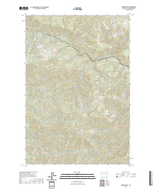
2024 Map of Rogers Peak
USGS Topo · Published 2024About this map
The Salmonberry River drainage defines this mountainous section of the Northern Oregon Coast Range, where the river meets its South Fork and North Fork tributaries. The small settlement of Enright remains a focal point in a landscape otherwise dominated by high ridges and steep timbered slopes. Rising over the terrain are significant summits such as Rogers Peak, Pinochle Peak, and Buck Mtn, which have long served as primary lookouts for this densely forested region.
Find a feature on this map
43 named features on this map. Tap any name to fly to it.
Don’t see what you’re looking for? This feature index may not catch every label — zoom into the map to look around manually.
Map Details
Editions of this 2024 Rogers Peak Map
This is the sole edition of this map. No revisions or reprints were ever made.
Other maps of this area

1937 · Enright
USGS Topo · 1:62,500

1939 · Saddle Mountain
USGS Topo · 1:62,500

1941 · Keasey
USGS Topo · 1:62,500

1941 · Timber
USGS Topo · 1:62,500

1941 · Enright
USGS Topo · 1:62,500

1943 · Keasey
USGS Topo · 1:62,500

1943 · Saddle Mtn.
USGS Topo · 1:62,500

1948 · Vancouver
USGS Topo · 1:250,000

1950 · Vancouver
USGS Topo · 1:250,000

1950 · Vancouver
USGS Topo · 1:250,000