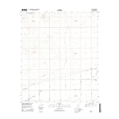
2014 Map of Roll
USGS Topo · Published 2014About this map
Roll and Tyson anchor the agricultural and transport corridor of the southern Mohawk Valley in this corner of the Arizona desert. The landscape is defined by the sharp transition between the arid peaks of the Castle Dome Mountains to the north and the irrigated lowlands shaped by the Gila River. The presence of Canal Rd and E Mohawk Canal Rd illustrates the critical infrastructure required for settlement in this environment, while a strictly rectangular grid of rural roads, such as S Avenue 40 E and E Co 4th St S, suggests a highly organized land-use pattern focused on irrigation-based farming in the lower valley.
Find a feature on this map
31 named features on this map. Tap any name to fly to it.
Don’t see what you’re looking for? This feature index may not catch every label — zoom into the map to look around manually.
Map Details
Editions of this 2014 Roll Map
This is the sole edition of this map. No revisions or reprints were ever made.
Other maps of this area

1926 · Wellton
USGS Topo · 1:62,500

1926 · Mohawk
USGS Topo · 1:62,500

1928 · Mohawk
USGS Topo · 1:62,500

1928 · Norton
USGS Topo · 1:62,500

1929 · Wellton
USGS Topo · 1:62,500

1929 · Norton
USGS Topo · 1:62,500

1942 · Yuma
USGS Topo · 1:250,000

1953 · Ajo
USGS Topo · 1:250,000

1954 · El Centro
USGS Topo · 1:250,000

1955 · El Centro
USGS Topo · 1:250,000