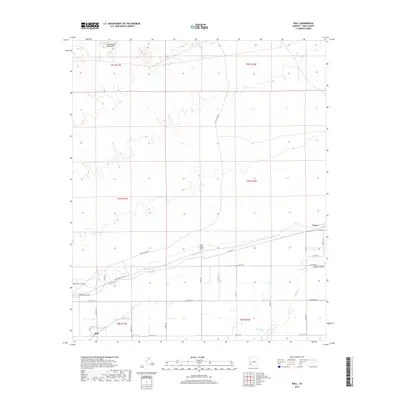
2018 Map of Roll
USGS Topo · Published 2018About this map
The Gila River winds through the southern portion of this desert landscape, its course flanked by the irrigated agricultural lands of the Mohawk Valley. The settlement of Roll serves as a local hub for this farming district, positioned near the Mohawk Canal Rd and various numbered county roads that grid the valley floor. To the north, the terrain transitions into the arid reaches of the Castle Dome Mountains, where the landscape is defined by drainage patterns and the historic Wellton Kofa Rd. This 2018 survey captures the intricate balance between desert wilderness and the managed water systems necessary for survival in the region, including smaller landmarks like Dusty Wings Field and the community of Tyson further east along the canal corridor.
Find a feature on this map
32 named features on this map. Tap any name to fly to it.
Don’t see what you’re looking for? This feature index may not catch every label — zoom into the map to look around manually.
Map Details
Editions of this 2018 Roll Map
This is the sole edition of this map. No revisions or reprints were ever made.
Other maps of this area

1926 · Wellton
USGS Topo · 1:62,500

1926 · Mohawk
USGS Topo · 1:62,500

1928 · Mohawk
USGS Topo · 1:62,500

1928 · Norton
USGS Topo · 1:62,500

1929 · Wellton
USGS Topo · 1:62,500

1929 · Norton
USGS Topo · 1:62,500

1942 · Yuma
USGS Topo · 1:250,000

1953 · Ajo
USGS Topo · 1:250,000

1954 · El Centro
USGS Topo · 1:250,000

1955 · El Centro
USGS Topo · 1:250,000