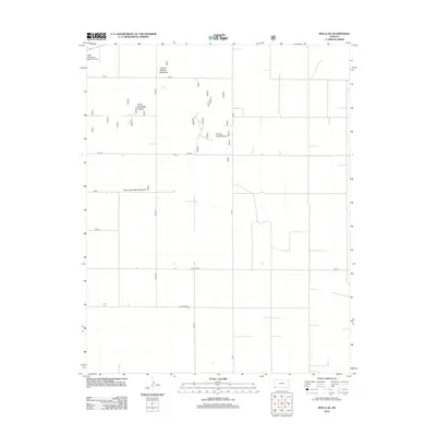
2012 Map of Rolla SE
USGS Topo · Published 2012About this map
Glen Randle Memorial Arena stands at the northwestern edge of this landscape, a prominent landmark in an area otherwise defined by a meticulous grid of agricultural and grazing allotments. This corner of Morton County is characterized by a sprawling system of numbered and named pastures, including Pasture Number Twentyfive and Pasture Number Twentysix, which emphasize the region's ranching heritage. The land is neatly partitioned by a network of county roads such as Co Rd G and Rd 28, and named thoroughfares like J Blvd and F Blvd. The organization of named units like South East Rollo Pasture and County Line Pasture illustrates the systematic management of the Cimarron National Grassland area in the early 21st century.
Find a feature on this map
14 named features on this map. Tap any name to fly to it.
Don’t see what you’re looking for? This feature index may not catch every label — zoom into the map to look around manually.
Map Details
Editions of this 2012 Rolla SE Map
This is the sole edition of this map. No revisions or reprints were ever made.
Other maps of this area

1954 · Perryton
USGS Topo · 1:250,000

1955 · Dodge City
USGS Topo · 1:250,000

1958 · Perryton
USGS Topo · 1:250,000

1958 · Dodge City
USGS Topo · 1:250,000

1959 · Dodge City
USGS Topo · 1:250,000

1967 · Straight
USGS Topo · 1:24,000

1973 · Rolla NW
USGS Topo · 1:24,000

1973 · Rolla NE
USGS Topo · 1:24,000

1973 · Hough NE
USGS Topo · 1:24,000

1973 · Hough NW
USGS Topo · 1:24,000