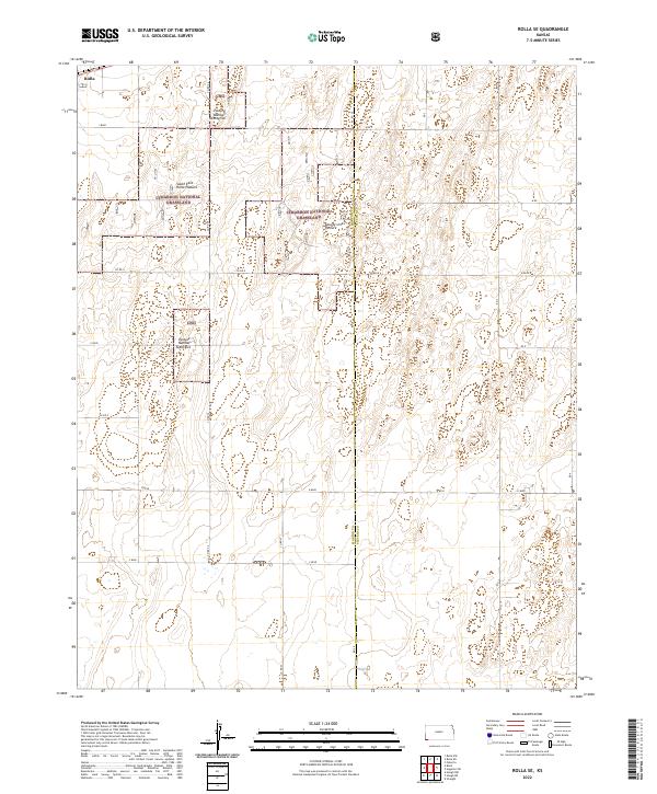
2022 Map of Rolla SE
USGS Topo · Published 2022About this map
The high plains of southwestern Kansas are defined here by the open expanses of the Cimarron National Grassland, a landscape preserved following the Dust Bowl era. The map details the transition between agricultural lands and protected prairie, specifically highlighting grazing management units such as South East Rollo Pasture, CNG Pasture Number Twentyfive, and CNG Pasture Number Twentysix. These numbered and named pastures reflect the systematic land use practices of the U.S. Forest Service in managing the shortgrass prairie ecosystem.
Find a feature on this map
24 named features on this map. Tap any name to fly to it.
Don’t see what you’re looking for? This feature index may not catch every label — zoom into the map to look around manually.
Map Details
Editions of this 2022 Rolla SE Map
This is the sole edition of this map. No revisions or reprints were ever made.
Other maps of this area

1954 · Perryton
USGS Topo · 1:250,000

1955 · Dodge City
USGS Topo · 1:250,000

1958 · Perryton
USGS Topo · 1:250,000

1958 · Dodge City
USGS Topo · 1:250,000

1959 · Dodge City
USGS Topo · 1:250,000

1967 · Straight
USGS Topo · 1:24,000

1973 · Rolla NW
USGS Topo · 1:24,000

1973 · Rolla NE
USGS Topo · 1:24,000

1973 · Hough NE
USGS Topo · 1:24,000

1973 · Hough NW
USGS Topo · 1:24,000