
1953 Map of Rolling Pin Ranch
USGS Topo · Published 1954About this map
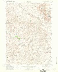
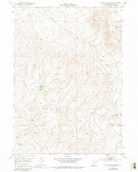
Rolling Pin Ranch and Pumpkin Butte Ranch anchor this livestock-focused landscape in the early 1950s, a period when the United States Atomic Energy Commission was actively surveying the area for mineral potential. The terrain is dominated by the striking profiles of the Pumpkin Buttes, including North Middle Butte and South Middle Butte, which rise above the surrounding drainage networks. The map details a high-plains environment where water is the critical resource, marked by numerous Windmills, a Water Tank, and a Well scattered across the range. A complex system of seasonal watercourses like Willow Creek, Cottonwood Creek, and Collins Draw carve through the land, illustrating the topographical challenges of ranching in the Wyoming interior. This survey provides a precise record of ranch boundaries and essential improvements during a decade of transition for the Western range.
Find a feature on this map
18 named features on this map. Tap any name to fly to it.
Don’t see what you’re looking for? This feature index may not catch every label — zoom into the map to look around manually.
Map Details
Editions of this 1953 Rolling Pin Ranch Map
3 editions found
Other maps of this area

1953 · Dry Fork Ranch
USGS Topo · 1:24,000

1953 · Fort Reno SE
USGS Topo · 1:24,000

1953 · Savageton
USGS Topo · 1:24,000

1953 · South Butte
USGS Topo · 1:24,000

1953 · North Butte
USGS Topo · 1:24,000

1954 · Artesian Draw
USGS Topo · 1:24,000

1954 · Pine Tree
USGS Topo · 1:24,000

1954 · Taylor Ranch
USGS Topo · 1:24,000

1955 · Newcastle
USGS Topo · 1:250,000

1955 · Arminto
USGS Topo · 1:250,000