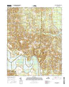
2016 Map of Rollins Fork
USGS Topo · Published 2016About this map
The Rappahannock River defines the southern boundary of this region, where the tidewater landscape is shaped by prominent coastal features like Devils Elbow and Horse Head Point. Further inland, the terrain is a network of marshes and creeks, including Broom Swamp and Cow Swamp, which have influenced the layout of rural crossroads and family settlements. Local history is anchored by several small communities and religious sites, such as Shiloh and the namesake Rollins Fork. The map documents the persistent rural character of this Virginia territory, showing the proximity of older sites like Shiloh Ch and Oak Grove Cem to the evolving residential names along the river's edge, such as Nash Town. The complex intersection of county lines between Westmoreland, King George, Essex, and Caroline counties highlights the historical administrative importance of these river-side corridors.
Find a feature on this map
101 named features on this map. Tap any name to fly to it.
Don’t see what you’re looking for? This feature index may not catch every label — zoom into the map to look around manually.
Map Details
Editions of this 2016 Rollins Fork Map
This is the sole edition of this map. No revisions or reprints were ever made.
Other maps of this area

1889 · Fredericksburg
USGS Topo · 1:125,000

1892 · Fredericksburg
USGS Topo · 1:125,000

1892 · Montross
USGS Topo · 1:62,500

1894 · Wicomico
USGS Topo · 1:62,500

1894 · Fredericksburg
USGS Topo · 1:125,000

1895 · Wicomico
USGS Topo · 1:62,500

1895 · Nomini
USGS Topo · 1:125,000

1895 · Montross
USGS Topo · 1:62,500

1898 · Nomini
USGS Topo · 1:125,000

1902 · Wicomico
USGS Topo · 1:62,500