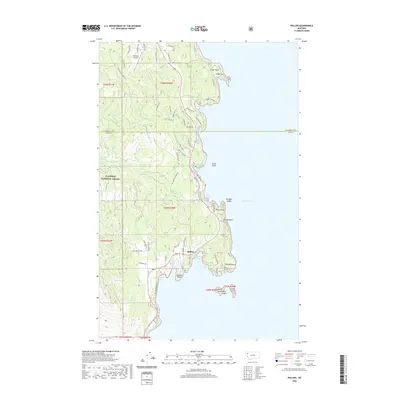
2020 Map of Rollins
USGS Topo · Published 2020About this map
The community of Rollins serves as the focal point of this western shore survey along the expansive waters of Flathead Lake. The landscape is defined by its intricate shoreline, where residential developments and seasonal camps are connected by a network of winding roads like Angel Point Rd and McFarland Rd. The terrain rises sharply from the water toward the heights of Mt Johns and the protected lands of the Flathead National Forest to the west.
Find a feature on this map
85 named features on this map. Tap any name to fly to it.
Don’t see what you’re looking for? This feature index may not catch every label — zoom into the map to look around manually.
Map Details
Editions of this 2020 Rollins Map
This is the sole edition of this map. No revisions or reprints were ever made.
Other maps of this area
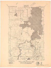
1920 · Flathead Lake
USGS Topo · 1:125,000
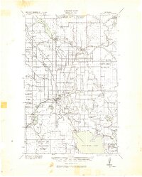
1943 · Kalispell
USGS Topo · 1:125,000
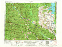
1956 · Wallace
USGS Topo · 1:250,000
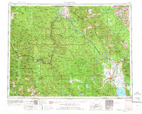
1957 · Kalispell
USGS Topo · 1:250,000
1960 · Kalispell
USGS Topo · 1:250,000
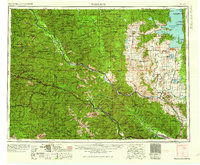
1960 · Wallace
USGS Topo · 1:250,000
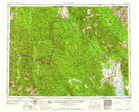
1961 · Kalispell
USGS Topo · 1:250,000
1962 · Lion Mountain
USGS Topo · 1:24,000
1962 · Somers
USGS Topo · 1:24,000
1962 · Bigfork
USGS Topo · 1:24,000