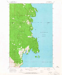
1964 Map of Rollins
USGS Topo · Published 1966About this map
The western shore of Flathead Lake is defined by a series of prominent points and sheltered bays in this mid-1960s survey. The settlement of Rollins serves as the primary hub, situated near the mouth of Canal Bay and Crescent Bay. To the south, the Flathead Indian Reservation Boundary marks a significant administrative line, while the northern reaches include the established Flathead National Forest and West Shore State Park.
Find a feature on this map
34 named features on this map. Tap any name to fly to it.
Don’t see what you’re looking for? This feature index may not catch every label — zoom into the map to look around manually.
Map Details
Editions of this 1964 Rollins Map
This is the sole edition of this map. No revisions or reprints were ever made.
Other maps of this area
1920 · Flathead Lake
USGS Topo · 1:125,000
1943 · Kalispell
USGS Topo · 1:125,000
1956 · Wallace
USGS Topo · 1:250,000
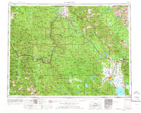
1957 · Kalispell
USGS Topo · 1:250,000
1960 · Kalispell
USGS Topo · 1:250,000
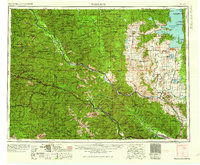
1960 · Wallace
USGS Topo · 1:250,000
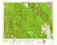
1961 · Kalispell
USGS Topo · 1:250,000
1962 · Lion Mountain
USGS Topo · 1:24,000
1962 · Somers
USGS Topo · 1:24,000
1962 · Bigfork
USGS Topo · 1:24,000